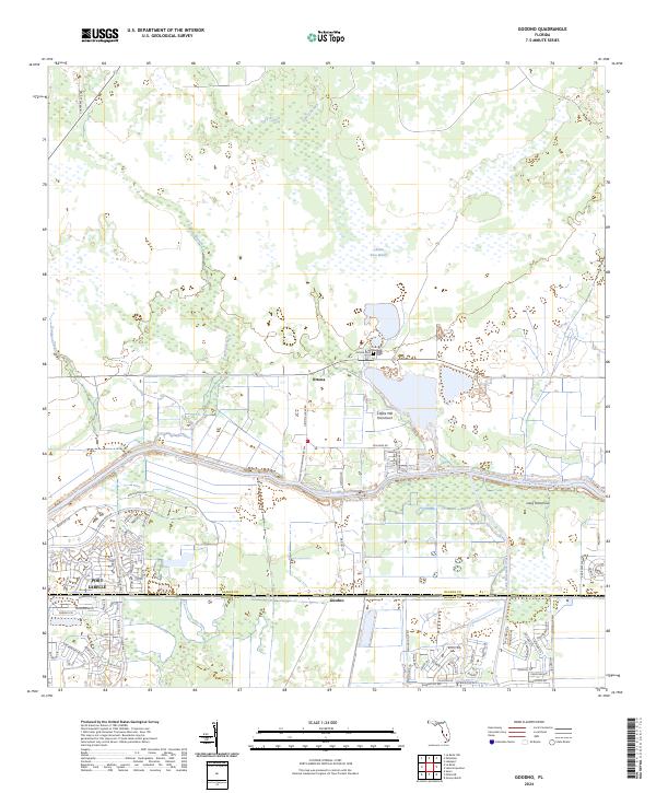
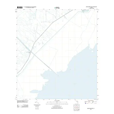
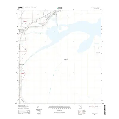
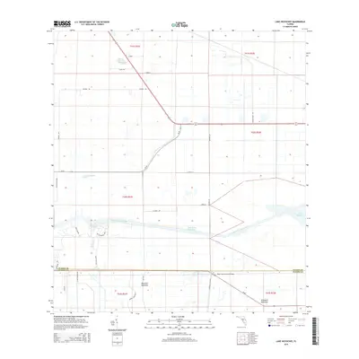
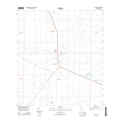
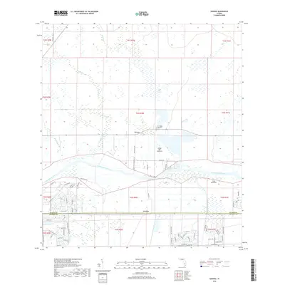
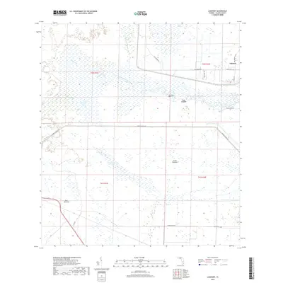
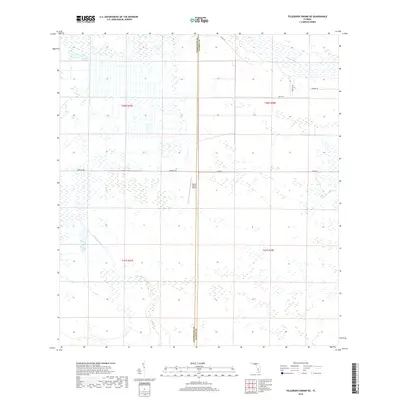
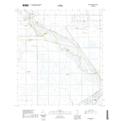
2024 Map of Goodno
USGS Topo · Published 2024About this map
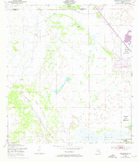
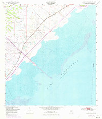
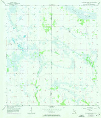
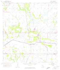
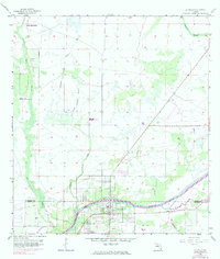
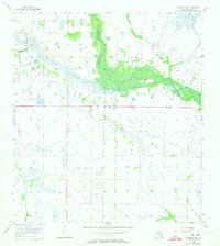
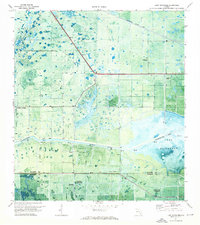
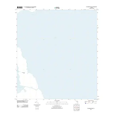
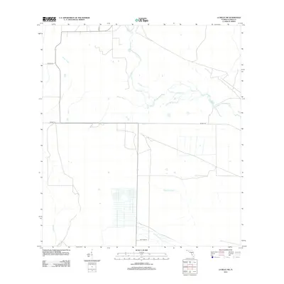
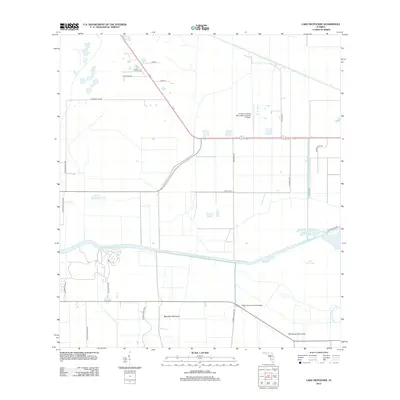
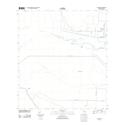
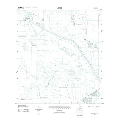
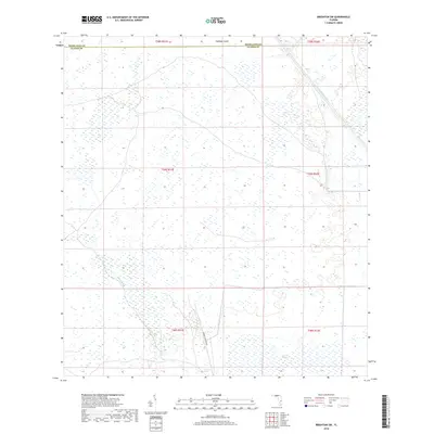
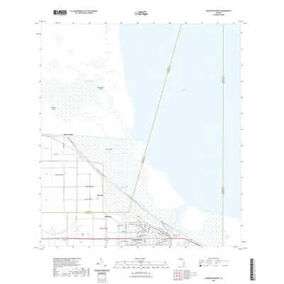
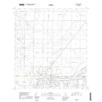
The Caloosahatchee River and the engineered Caloosahatchee Canal dominate this South Florida landscape, where the boundary between Glades and Hendry counties meets. The area shows a distinct contrast between the residential street networks of Port LaBelle in the southwest and the more rural, hydrological character of the north and east. Significant natural and cultural landmarks like Coffee Mill Hammock and Long Hammock rise above the surrounding wetlands, while Linden Pens Marsh reflects the region's agricultural and ranching history.
Find a feature on this map
78 named features on this map. Tap any name to fly to it.
Don’t see what you’re looking for? This feature index may not catch every label — zoom into the map to look around manually.
Map Details
Editions of this 2024 Goodno Map
This is the sole edition of this map. No revisions or reprints were ever made.
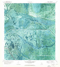
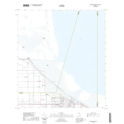
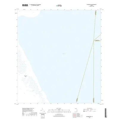
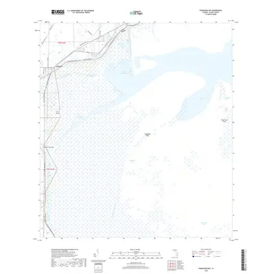
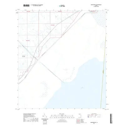
Historical Maps of Goodno Through Time
91 maps found
1952 Okeechobee NW
Glades County, FL
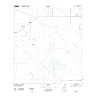
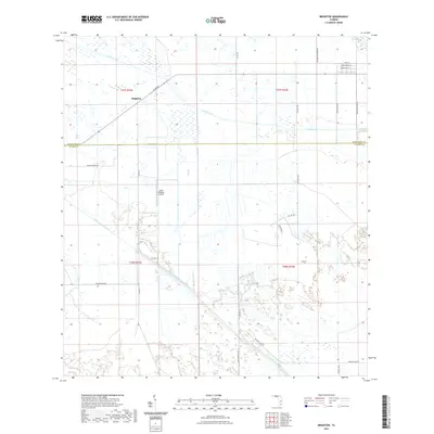
1953 Brighton
Glades County, FL
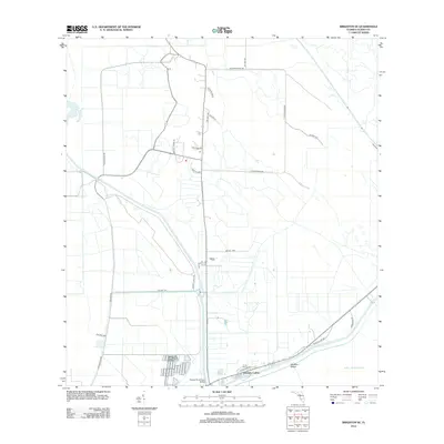
1953 Brighton SE
Glades County, FL
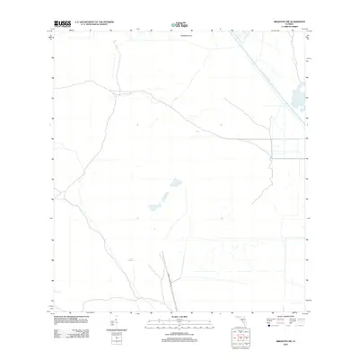
1953 Brighton SW
Glades County, FL
1953 Okeechobee SW
Glades County, FL
1956 Telegraph Swamp NE
Glades County, FL
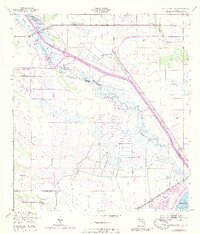
1958 Goodno
Glades County, FL
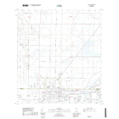
1958 La Belle
Glades County, FL
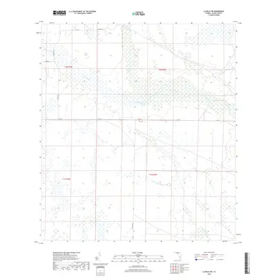
1958 La Belle NW
Glades County, FL

1958 Palmdale
Glades County, FL
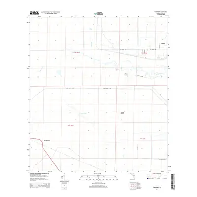
1970 Lakeport
Glades County, FL
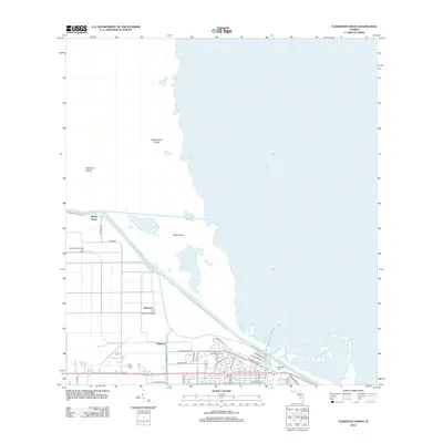
1971 Clewiston North
Glades County, FL
1971 Cochrans Pass
Glades County, FL
1971 Fisheating Bay
Glades County, FL
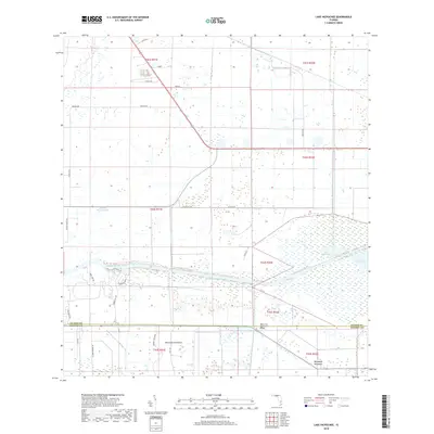
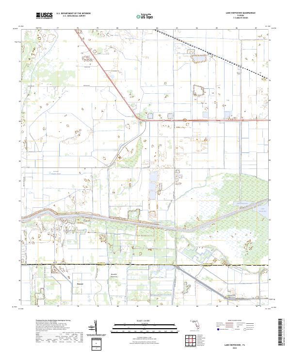
1971 Lake Hicpochee
Glades County, FL
1994 La Belle NW
Glades County, FL
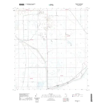
2012 Brighton
Glades County, FL
2012 Brighton SE
Glades County, FL
2012 Brighton SW
Glades County, FL
2012 Clewiston North
Glades County, FL
2012 Cochrans Pass
Glades County, FL
2012 Fisheating Bay
Glades County, FL
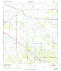
2012 Goodno
Glades County, FL
2012 La Belle
Glades County, FL
2012 La Belle NW
Glades County, FL
2012 Lake Hicpochee
Glades County, FL
2012 Lakeport
Glades County, FL
2012 Okeechobee NW
Glades County, FL
2012 Okeechobee SW
Glades County, FL
2012 Palmdale
Glades County, FL
2012 Telegraph Swamp NE
Glades County, FL
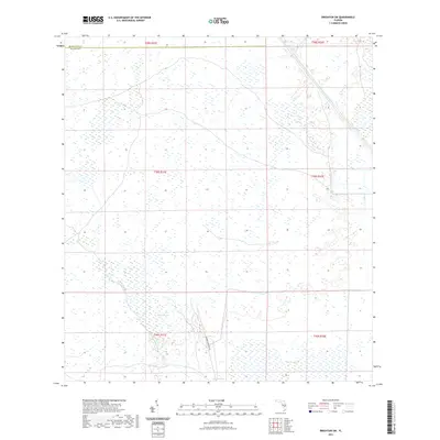
2015 Brighton
Glades County, FL
2015 Brighton SE
Glades County, FL
2015 Brighton SW
Glades County, FL
2015 Clewiston North
Glades County, FL
2015 Cochrans Pass
Glades County, FL
2015 Fisheating Bay
Glades County, FL
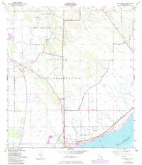
2015 Goodno
Glades County, FL
2015 La Belle
Glades County, FL
2015 La Belle NW
Glades County, FL
2015 Lake Hicpochee
Glades County, FL
2015 Lakeport
Glades County, FL
2015 Okeechobee NW
Glades County, FL
2015 Okeechobee SW
Glades County, FL
2015 Palmdale
Glades County, FL
2015 Telegraph Swamp NE
Glades County, FL
2018 Brighton
Glades County, FL
2018 Brighton SE
Glades County, FL
2018 Brighton SW
Glades County, FL
2018 Clewiston North
Glades County, FL
2018 Cochrans Pass
Glades County, FL
2018 Fisheating Bay
Glades County, FL
2018 Goodno
Glades County, FL
2018 La Belle
Glades County, FL
2018 La Belle NW
Glades County, FL
2018 Lake Hicpochee
Glades County, FL
2018 Lakeport
Glades County, FL
2018 Okeechobee NW
Glades County, FL
2018 Okeechobee SW
Glades County, FL
2018 Palmdale
Glades County, FL
2018 Telegraph Swamp NE
Glades County, FL
2021 Brighton
Glades County, FL
2021 Brighton SE
Glades County, FL
2021 Brighton SW
Glades County, FL
2021 Clewiston North
Glades County, FL
2021 Cochrans Pass
Glades County, FL
2021 Fisheating Bay
Glades County, FL
2021 Goodno
Glades County, FL
2021 La Belle
Glades County, FL
2021 La Belle NW
Glades County, FL
2021 Lake Hicpochee
Glades County, FL
2021 Lakeport
Glades County, FL
2021 Okeechobee NW
Glades County, FL
2021 Okeechobee SW
Glades County, FL
2021 Palmdale
Glades County, FL
2021 Telegraph Swamp NE
Glades County, FL
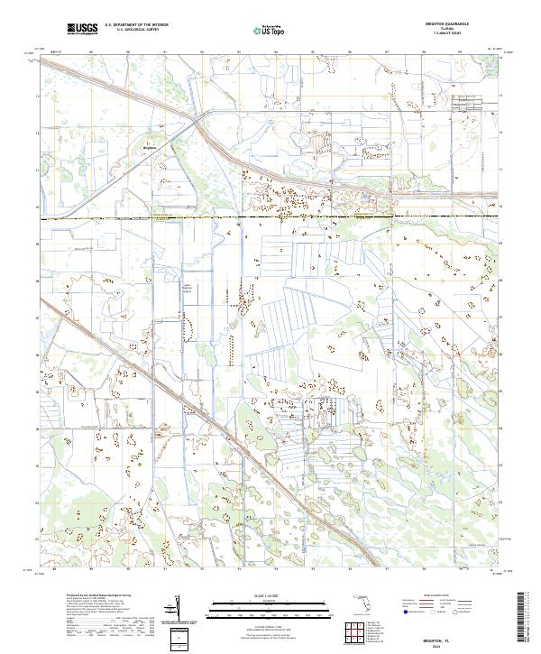
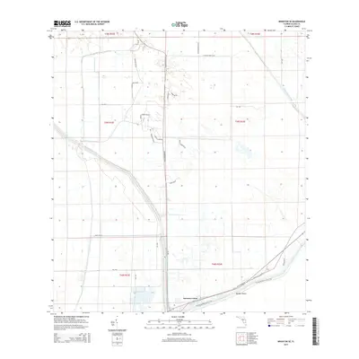
2024 Brighton
Glades County, FL
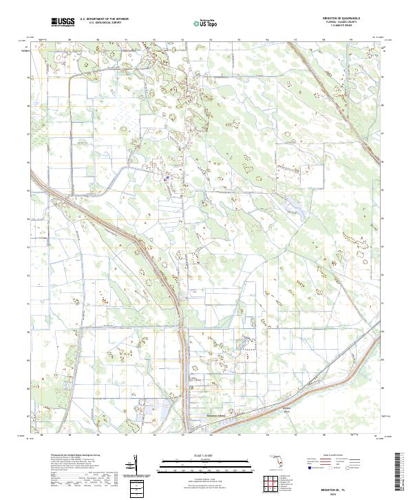
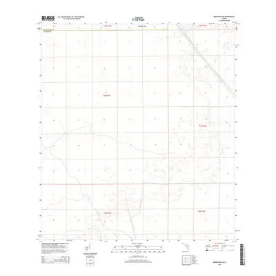
2024 Brighton SE
Glades County, FL
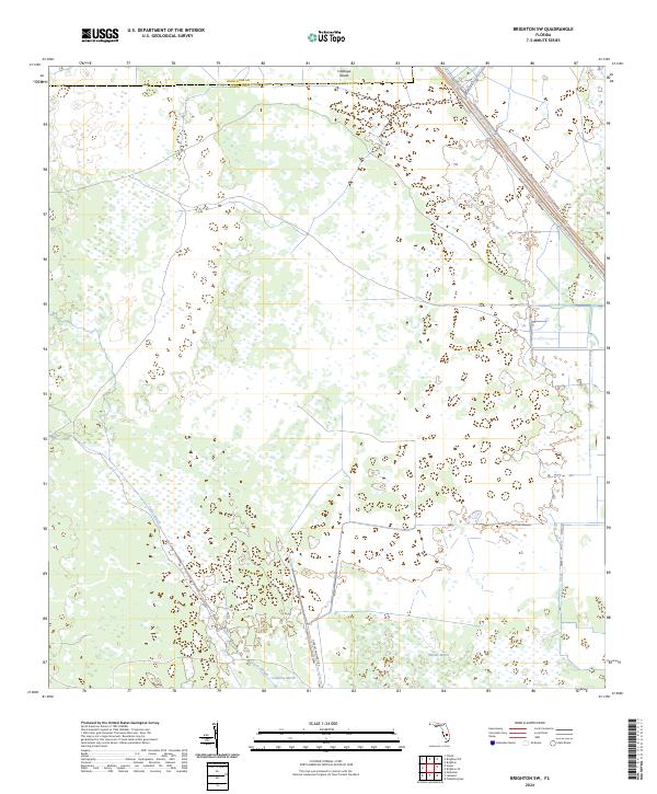
2024 Brighton SW
Glades County, FL
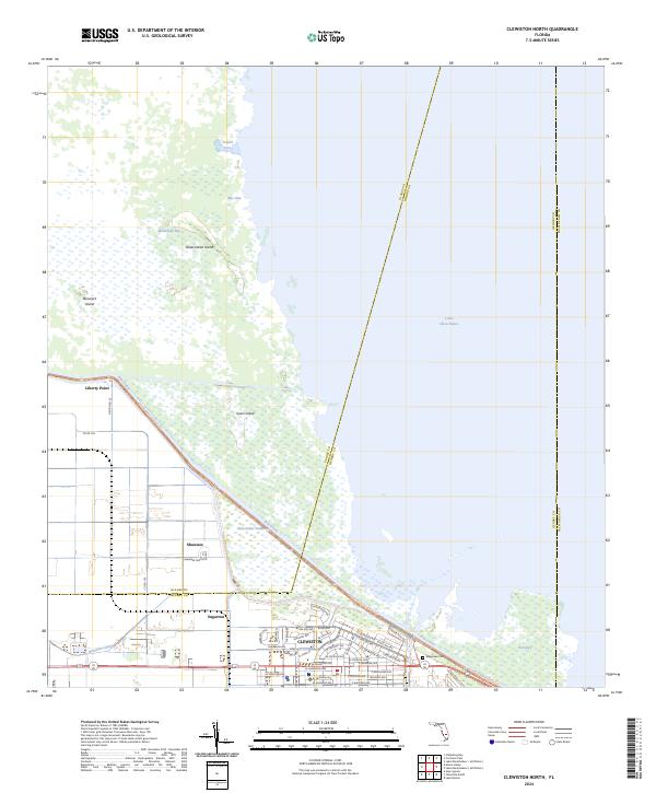
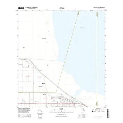
2024 Clewiston North
Glades County, FL
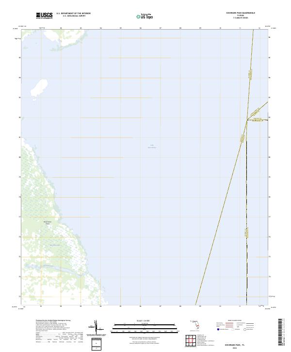
2024 Cochrans Pass
Glades County, FL
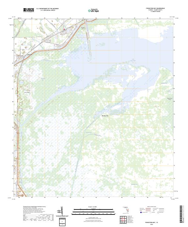
2024 Fisheating Bay
Glades County, FL
2024 Goodno
Glades County, FL
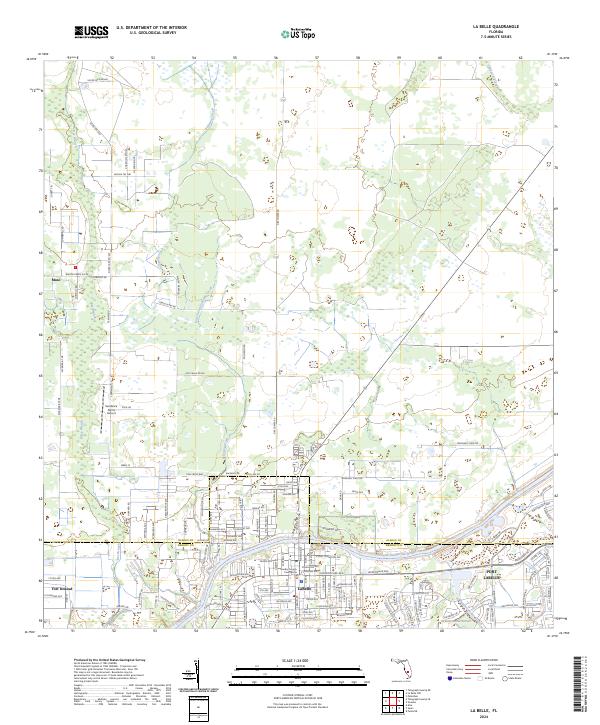
2024 La Belle
Glades County, FL
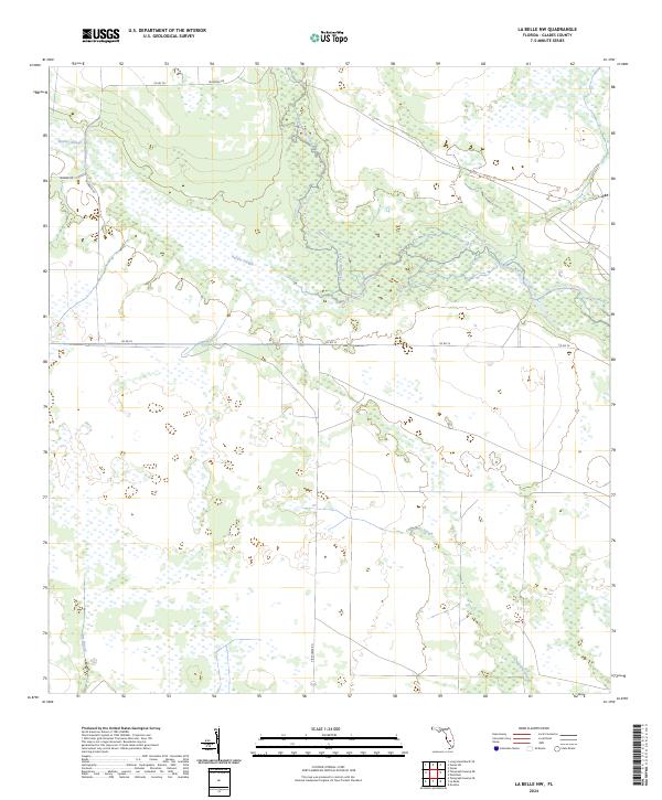
2024 La Belle NW
Glades County, FL
2024 Lake Hicpochee
Glades County, FL
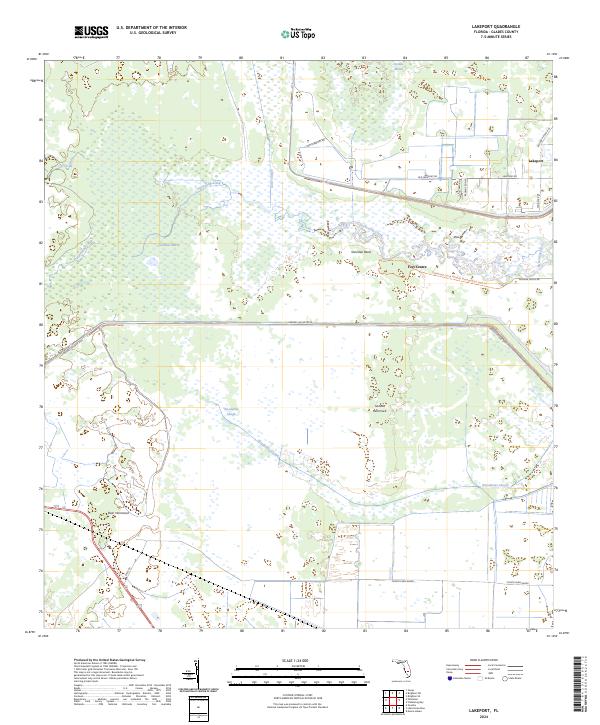
2024 Lakeport
Glades County, FL
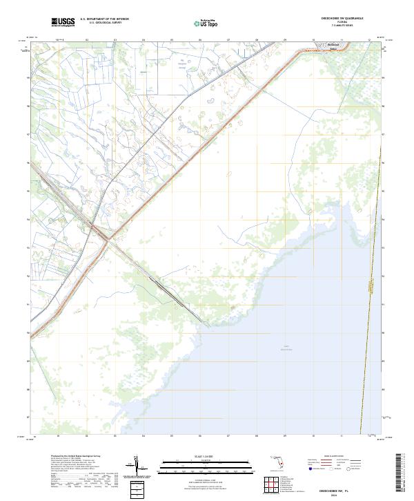
2024 Okeechobee NW
Glades County, FL
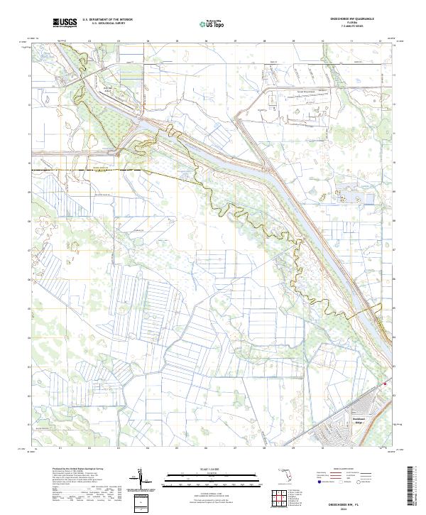
2024 Okeechobee SW
Glades County, FL
2024 Palmdale
Glades County, FL
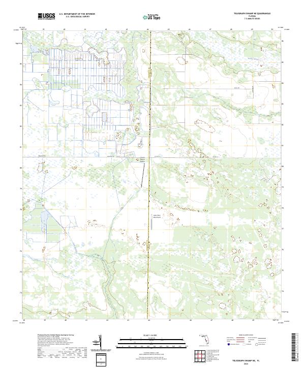
2024 Telegraph Swamp NE
Glades County, FL