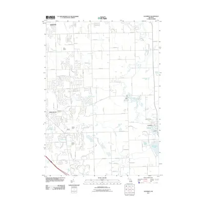
2011 Map of Goodrich
USGS Topo · Published 2011About this map
Thread Creek and Kearsley Creek wind through this southeastern portion of Genesee County, defining a landscape that balances suburban development with enduring water features. The villages of Atlas and Goodrich serve as focal points, each centered around a historic millpond — the Atlas Millpond and Goodrich Millpond respectively. These water bodies reflect the area's early industrial foundations, while the surrounding residential expansion is evident in the subdivisions near Grand Blanc and Burton.
Find a feature on this map
53 named features on this map. Tap any name to fly to it.
Don’t see what you’re looking for? This feature index may not catch every label — zoom into the map to look around manually.
Map Details
Editions of this 2011 Goodrich Map
This is the sole edition of this map. No revisions or reprints were ever made.
Other maps of this area

1920 · Flint
USGS Topo · 1:62,500

1920 · Holly
USGS Topo · 1:62,500

1922 · Holly
USGS Topo · 1:62,500

1922 · Flint
USGS Topo · 1:62,500

1943 · Holly
USGS Topo · 1:62,500

1943 · Flint
USGS Topo · 1:62,500

1943 · Ortonville
USGS Topo · 1:24,000
1945 · Ortonville
USGS Topo · 1:24,000

1945 · Hadley
USGS Topo · 1:24,000
1945 · Davisburg
USGS Topo · 1:24,000