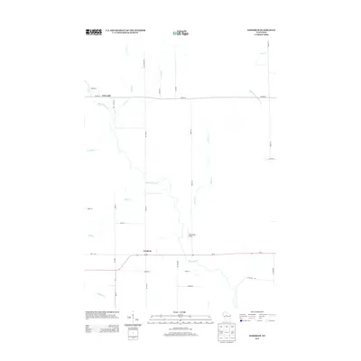
2013 Map of Goodrich
USGS Topo · Published 2013About this map
The Big Rib River and its numerous tributaries dominate this Taylor County landscape, flowing through a rural network of farm roads and small communities. The settlement of Goodrich sits at the junction of Wi-64 and Wi-97, serving as a central hub for the surrounding township. Further north, the small community of Interwald is situated along Co HWY-M, reflecting the area's history of small-scale settlement patterns in north-central Wisconsin.
Find a feature on this map
34 named features on this map. Tap any name to fly to it.
Don’t see what you’re looking for? This feature index may not catch every label — zoom into the map to look around manually.
Map Details
Editions of this 2013 Goodrich Map
This is the sole edition of this map. No revisions or reprints were ever made.
Other maps of this area

1902 · Marathon
USGS Topo · 1:125,000

1945 · Rib Lake
USGS Topo · 1:48,000

1947 · Rib Lake
USGS Topo · 1:48,000

1949 · Rib Lake
USGS Topo · 1:48,000

1950 · Spirit Falls
USGS Topo · 1:48,000

1951 · Athens
USGS Topo · 1:48,000

1951 · Hamburg
USGS Topo · 1:48,000

1952 · Spirit Falls
USGS Topo · 1:48,000

1953 · Rice Lake
USGS Topo · 1:250,000

1954 · Iron Mountain
USGS Topo · 1:250,000