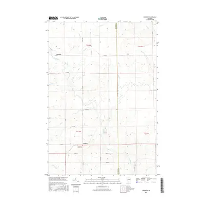
2015 Map of Goodrich
USGS Topo · Published 2015About this map
Goodrich sits at the heart of this Taylor County landscape, where the Big Rib River and its numerous tributaries like Mink Cr and Spring Cr define the drainage patterns of North Central Wisconsin. The area's spiritual and community history is anchored at the Saint Andrews Lutheran Cem, while the small settlement of Interwald appears to the northwest. This map reflects a rural network of county highways and local drives, such as Co HWY M and Lemke Creek Rd, which provide access to family-named landmarks like Johns Field. The boundary between Taylor and Lincoln counties runs vertically through the eastern portion of the sheet, marking a transition toward the Middle Fork Copper River watershed. The terrain is characterized by a dense system of seasonal and perennial creeks, including E Lemke Cr and Joe Martin Cr, typical of this glaciated region.
Find a feature on this map
41 named features on this map. Tap any name to fly to it.
Don’t see what you’re looking for? This feature index may not catch every label — zoom into the map to look around manually.
Map Details
Editions of this 2015 Goodrich Map
This is the sole edition of this map. No revisions or reprints were ever made.
Other maps of this area

1902 · Marathon
USGS Topo · 1:125,000

1945 · Rib Lake
USGS Topo · 1:48,000

1947 · Rib Lake
USGS Topo · 1:48,000

1949 · Rib Lake
USGS Topo · 1:48,000

1950 · Spirit Falls
USGS Topo · 1:48,000

1951 · Athens
USGS Topo · 1:48,000

1951 · Hamburg
USGS Topo · 1:48,000

1952 · Spirit Falls
USGS Topo · 1:48,000

1953 · Rice Lake
USGS Topo · 1:250,000

1954 · Iron Mountain
USGS Topo · 1:250,000