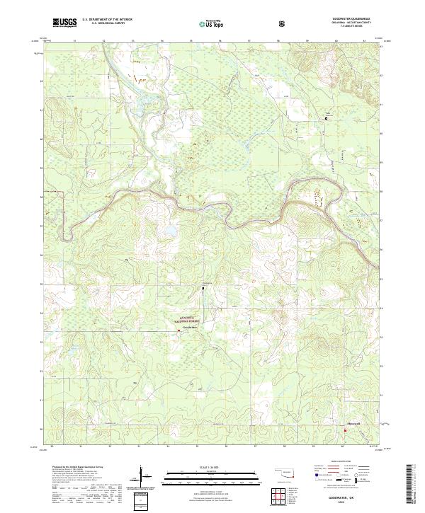
2022 Map of Goodwater
USGS Topo · Published 2022About this map
Little River National Wildlife Refuge dominates this section of McCurtain County, where the meandering Little River and its numerous tributaries create a complex riparian landscape. The map details the transition from the protected wetlands of the refuge to the southern edges of the Ouachita National Forest. Small settlements like Goodwater and Shinewell serve as anchors for the local community, connected by a network of rural routes such as Shinewell Rd and Bailey Rd.
Find a feature on this map
52 named features on this map. Tap any name to fly to it.
Don’t see what you’re looking for? This feature index may not catch every label — zoom into the map to look around manually.
Map Details
Editions of this 2022 Goodwater Map
This is the sole edition of this map. No revisions or reprints were ever made.
Other maps of this area

1902 · Lukfata
USGS Topo · 1:125,000

1913 · De Queen
USGS Topo · 1:125,000

1950 · Mcalester
USGS Topo · 1:250,000

1950 · Shults
USGS Topo · 1:24,000

1950 · Haworth
USGS Topo · 1:24,000

1950 · Goodwater
USGS Topo · 1:24,000

1950 · Bokhoma
USGS Topo · 1:24,000

1951 · Haworth
USGS Topo · 1:24,000

1951 · Bokhoma
USGS Topo · 1:24,000

1951 · Shults
USGS Topo · 1:24,000