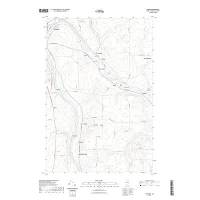
2021 Map of Goodwin
USGS Topo · Published 2021About this map
The Aroostook River defines the landscape of this northern Maine corridor, winding through the valley between the growing centers of Caribou and Presque Isle. The settlement pattern reflects a deeply rooted agricultural and industrial history, evidenced by small hamlets like Grimes Mill and Goodwin that follow the river's path. Local genealogy is particularly well-represented on this sheet, which preserves the locations of numerous family and community burial grounds, including the Cochran Cem and Grimes Kelly Cem.
Find a feature on this map
71 named features on this map. Tap any name to fly to it.
Don’t see what you’re looking for? This feature index may not catch every label — zoom into the map to look around manually.
Map Details
Editions of this 2021 Goodwin Map
This is the sole edition of this map. No revisions or reprints were ever made.
Other maps of this area

1929 · Caribou
USGS Topo · 1:48,000

1930 · Fort Fairfield
USGS Topo · 1:48,000

1932 · Caribou
USGS Topo · 1:62,500

1933 · Fort Fairfield
USGS Topo · 1:62,500

1935 · Presque Isle
USGS Topo · 1:62,500

1936 · Mars Hill
USGS Topo · 1:48,000

1940 · Mars Hill
USGS Topo · 1:62,500

1951 · Mars Hill
USGS Topo · 1:62,500

1951 · Fort Fairfield
USGS Topo · 1:62,500

1953 · Fort Fairfield NW
USGS Topo · 1:24,000