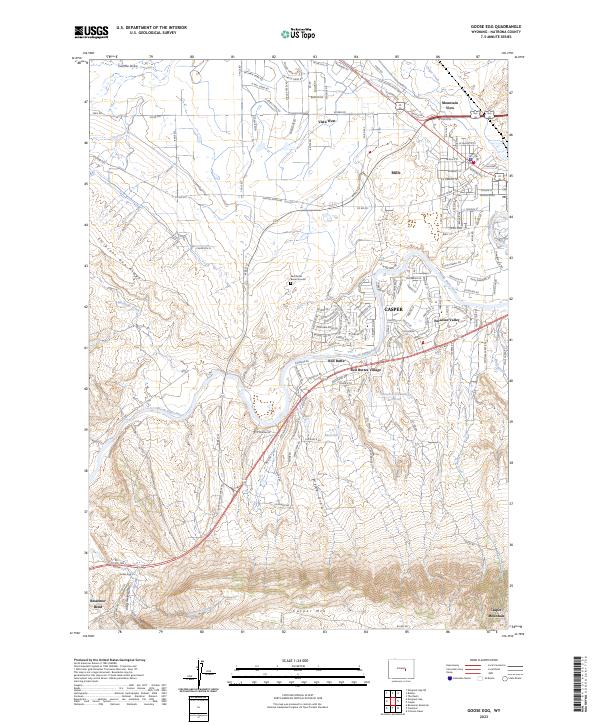
2023 Map of Goose Egg
USGS Topo · Published 2023About this map
The North Platte River carves a winding path through this western Natrona County landscape, anchoring a transition from the urban fringes of Casper to the elevated terrain of Casper Mtn. The map highlights a series of suburban and residential developments such as Mountain View, Vista West, and Red Buttes Village that contrast with the open rangeland and water management infrastructure like Horsch Stockwater Reservoir and S P Reservoir.
Find a feature on this map
102 named features on this map. Tap any name to fly to it.
Don’t see what you’re looking for? This feature index may not catch every label — zoom into the map to look around manually.
Map Details
Editions of this 2023 Goose Egg Map
This is the sole edition of this map. No revisions or reprints were ever made.
Other maps of this area
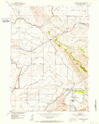
1950 · Emigrant Gap
USGS Topo · 1:24,000
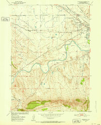
1950 · Goose Egg
USGS Topo · 1:24,000
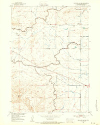
1950 · Emigrant Gap NE
USGS Topo · 1:24,000
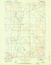
1951 · The Reefs
USGS Topo · 1:24,000
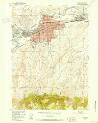
1951 · Casper
USGS Topo · 1:24,000
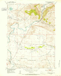
1951 · Bessemer Mountain
USGS Topo · 1:24,000
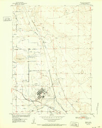
1952 · Bishop
USGS Topo · 1:24,000
1955 · Casper
USGS Topo · 1:250,000
1958 · Casper
USGS Topo · 1:250,000
1960 · Emigrant Gap
USGS Topo · 1:24,000