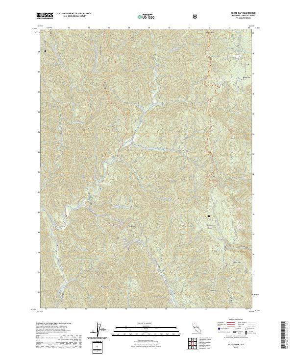
2023 Map of Goose Gap
USGS Topo · Published 2023About this map
Shasta National Forest dominates this northern California landscape, defined by a complex network of ridges and watercourses within the southern Cascade Range. The map illustrates a watershed centered on Sulanharas Creek, with several major tributaries including Potem Creek, Ash Creek, and Hoffmeister Creek carving through the terrain. Notable high points like Bagley Mtn and Brock Butte provide orientation points for this heavily forested region, while the passage at Goose Gap suggests a natural transit point between drainages. The naming of features such as Jackass Creek, Bluejay Mtn, and Bear trap Creek reflects the region's wilderness character and early pioneer nomenclature. This modern survey details the intricate forest road system that provides access to remote locations like Reynolds Basin and Timber Canyon, essential for contemporary land management and recreational navigation.
Find a feature on this map
34 named features on this map. Tap any name to fly to it.
Don’t see what you’re looking for? This feature index may not catch every label — zoom into the map to look around manually.
Map Details
Editions of this 2023 Goose Gap Map
This is the sole edition of this map. No revisions or reprints were ever made.
Other maps of this area

1886 · Lassen Peak
USGS Topo · 1:250,000

1886 · Modoc Lava Bed
USGS Topo · 1:250,000

1886 · Shasta
USGS Topo · 1:250,000

1890 · Red Bluff
USGS Topo · 1:250,000

1892 · Modoc Lava-Bed
USGS Topo · 1:250,000

1892 · Lassen Peak
USGS Topo · 1:250,000

1894 · Lassen Peak
USGS Topo · 1:250,000

1894 · Red Bluff
USGS Topo · 1:250,000

1894 · Shasta
USGS Topo · 1:250,000

1901 · Redding
USGS Topo · 1:125,000