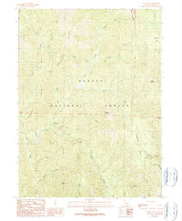
1990 Map of Goose Gap
USGS Topo · Published 1990About this map
Shasta National Forest dominates this 1990 provisional study, revealing a landscape defined by an intricate network of drainages and prominent peaks. The topography is shaped by the North Fork and numerous tributaries such as Potem Creek, Squaw Creek, and Jackass Creek. These waterways carve through several major ridges, including Garden Ridge and Curl Ridge, creating the steep relief characteristic of this part of the Klamath Mountains.
Find a feature on this map
32 named features on this map. Tap any name to fly to it.
Don’t see what you’re looking for? This feature index may not catch every label — zoom into the map to look around manually.
Map Details
Editions of this 1990 Goose Gap Map
This is the sole edition of this map. No revisions or reprints were ever made.
Other maps of this area

1886 · Lassen Peak
USGS Topo · 1:250,000

1886 · Modoc Lava Bed
USGS Topo · 1:250,000

1886 · Shasta
USGS Topo · 1:250,000

1890 · Red Bluff
USGS Topo · 1:250,000

1892 · Modoc Lava-Bed
USGS Topo · 1:250,000

1892 · Lassen Peak
USGS Topo · 1:250,000

1894 · Lassen Peak
USGS Topo · 1:250,000

1894 · Red Bluff
USGS Topo · 1:250,000

1894 · Shasta
USGS Topo · 1:250,000

1901 · Redding
USGS Topo · 1:125,000