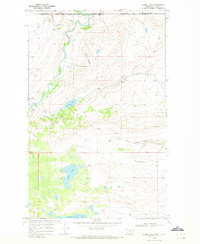
1968 Map of Goose Lake
USGS Topo · Published 1972About this map
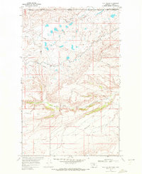
The Blackfeet Indian Reservation along the international border with Canada is defined here by its complex hydraulic infrastructure and varied terrain. In the late 1960s, the Saint Mary Canal winds through the landscape, utilizing a Siphon and passing near Camp Nine as it redirects water resources. The Saint Mary River cuts through the western portion of the sheet, while the North Fork Milk River meanders across the southeast. This survey captures a moment when remote landmarks such as a lonely Grave near a Jeep Trail and the industrial presence of a Pipeline exist alongside the significant natural basins of Goose Lake and Spider Lake. The topographic detail highlights the transition from the high ground of Pine Ridge down to the expansive Freezeout Flat.
Find a feature on this map
20 named features on this map. Tap any name to fly to it.
Don’t see what you’re looking for? This feature index may not catch every label — zoom into the map to look around manually.
Map Details
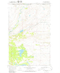
Editions of this 1968 Goose Lake Map
2 editions found
Other maps of this area

1901 · Browning
USGS Topo · 1:125,000

1903 · Browning
USGS Topo · 1:125,000

1960 · Cut Bank
USGS Topo · 1:250,000

1963 · Cut Bank
USGS Topo · 1:250,000

1964 · Cut Bank
USGS Topo · 1:250,000

1968 · Babb
USGS Topo · 1:24,000
1968 · Duck Lake
USGS Topo · 1:24,000
1968 · Pike Lake
USGS Topo · 1:24,000
1968 · Hall Coulee
USGS Topo · 1:24,000
1968 · Wetzel
USGS Topo · 1:24,000