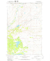
1968 Map of Goose Lake
USGS Topo · Published 1979About this map
The Blackfeet Indian Reservation Boundary defines the northern reaches of this landscape where the Canada United States border meets the high plains of Montana. The water systems are the primary focus of this late-1960s survey, showing the Saint Mary River winding north toward Alberta alongside a complex network of man-made infrastructure, including a Canal, Siphon, and Pipeline. These features suggest a highly managed water economy vital to the surrounding ranching and reservation lands.
Find a feature on this map
21 named features on this map. Tap any name to fly to it.
Don’t see what you’re looking for? This feature index may not catch every label — zoom into the map to look around manually.
Map Details
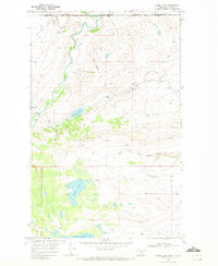
Editions of this 1968 Goose Lake Map
2 editions found
Other maps of this area

1901 · Browning
USGS Topo · 1:125,000

1903 · Browning
USGS Topo · 1:125,000

1960 · Cut Bank
USGS Topo · 1:250,000

1963 · Cut Bank
USGS Topo · 1:250,000

1964 · Cut Bank
USGS Topo · 1:250,000

1968 · Babb
USGS Topo · 1:24,000
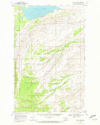
1968 · Duck Lake
USGS Topo · 1:24,000
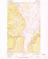
1968 · Pike Lake
USGS Topo · 1:24,000
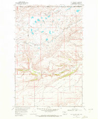
1968 · Hall Coulee
USGS Topo · 1:24,000
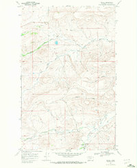
1968 · Wetzel
USGS Topo · 1:24,000