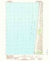
1984 Map of Goose Pasture
USGS Topo · Published 1984About this map
The Pacific Ocean coastline dominates this mid-1980s coastal study, where the shifting landscape of the Oregon Dunes National Recreation Area meets the sea. This stretch of Lane County shoreline is characterized by extensive areas of Sand and Marsh, illustrating the dynamic interplay between the estuary environment and the open ocean. At the southern end of the map, the Siltcoos River serves as a critical hydrological feature, regulated by a Concrete Dam and feeding into the Siltcoos Lagoon. These features, along with the Oregon Islands National Wildlife Refuge, highlight the era's focus on conservation and managed recreation. Developed infrastructure is sparse, limited to the Waxmyrtle Campground and several designated parking areas, suggesting a coastline preserved for its natural state rather than commercial expansion.
Find a feature on this map
17 named features on this map. Tap any name to fly to it.
Don’t see what you’re looking for? This feature index may not catch every label — zoom into the map to look around manually.
Map Details
Editions of this 1984 Goose Pasture Map
This is the sole edition of this map. No revisions or reprints were ever made.
Other maps of this area

1920 · Siltcoos Lake
USGS Topo · 1:62,500

1920 · Heceta Head
USGS Topo · 1:62,500

1941 · Siltcoos Lake
USGS Topo · 1:62,500

1942 · Heceta Head
USGS Topo · 1:62,500

1942 · Siltcoos Lake
USGS Topo · 1:62,500

1953 · Salem
USGS Topo · 1:250,000

1954 · Salem
USGS Topo · 1:250,000

1954 · Coos Bay
USGS Topo · 1:250,000
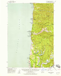
1956 · Heceta Head
USGS Topo · 1:62,500
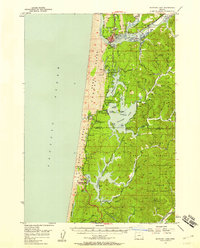
1956 · Siltcoos Lake
USGS Topo · 1:62,500