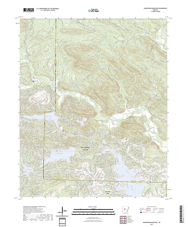
2024 Map of Goosepond Mountain
USGS Topo · Published 2024About this map
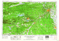
Hot Springs Village dominates the southern half of this landscape, showcasing the intricate network of residential ways and drives that define this planned community on the border of Garland and Saline counties. The area's geography is structured around significant water bodies, including Lake Coronado, Lake Cortez, and Lake Pineda, which were engineered to follow the natural drainages of the Middle Fork Saline River and Cedar Creek.
Find a feature on this map
287 named features on this map. Tap any name to fly to it.
Don’t see what you’re looking for? This feature index may not catch every label — zoom into the map to look around manually.
Map Details
Editions of this 2024 Goosepond Mountain Map
This is the sole edition of this map. No revisions or reprints were ever made.
Other maps of this area
1890 · Benton
USGS Topo · 1:125,000
1890 · Hot Springs
USGS Topo · 1:125,000
1894 · Hot Springs
USGS Topo · 1:125,000
1894 · Benton
USGS Topo · 1:125,000

1955 · Little Rock
USGS Topo · 1:250,000

1956 · Little Rock
USGS Topo · 1:250,000
1960 · Little Rock
USGS Topo · 1:250,000
1963 · Paron SW
USGS Topo · 1:24,000
1963 · Paron
USGS Topo · 1:24,000
1964 · Little Rock
USGS Topo · 1:250,000