
1961 Map of Gordon
USGS Topo · Published 1962About this map
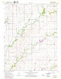
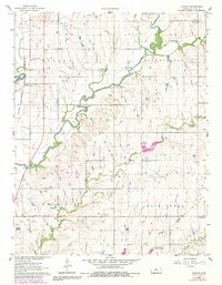
Little Walnut River meanders through the central Butler County landscape, anchoring a rural environment defined by small agricultural settlements and dispersed homesteads during the early 1960s. The village of Gordon serves as a primary rail point along the Atchison Topeka and Santa Fe line, which skirts the western edge of the quadrangle. This era shows a well-established network of country churches and burial grounds, including Cumberland Ch and the nearby Little Walnut Cem, reflecting the localized social structure of the Kansas plains.
Find a feature on this map
21 named features on this map. Tap any name to fly to it.
Don’t see what you’re looking for? This feature index may not catch every label — zoom into the map to look around manually.
Map Details
Editions of this 1961 Gordon Map
3 editions found
Other maps of this area

1888 · Eldorado
USGS Topo · 1:125,000

1889 · Burden
USGS Topo · 1:125,000

1889 · Wichita
USGS Topo · 1:125,000

1890 · Wellington
USGS Topo · 1:125,000

1894 · Wichita
USGS Topo · 1:125,000

1955 · Udall
USGS Topo · 1:24,000

1955 · Santa Fe Lake
USGS Topo · 1:24,000

1955 · Douglass
USGS Topo · 1:24,000

1955 · Wichita
USGS Topo · 1:250,000

1958 · Wichita
USGS Topo · 1:250,000