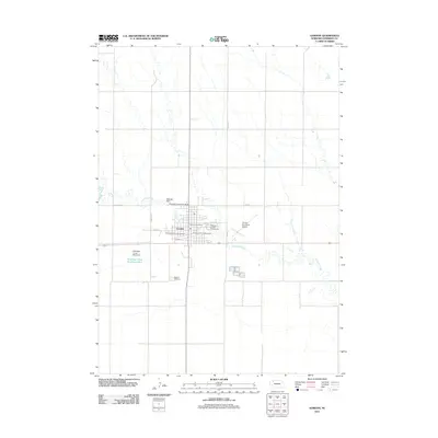
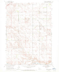
2011 Map of Gordon
USGS Topo · Published 2011About this map
Gordon serves as a concentrated center of activity in this part of Sheridan County, defined by a grid of streets such as Walnut St and E 4th St. The town's infrastructure supports a regional agricultural community, anchored by the Sheridan County Fairgrounds and the Gordon Post Office. Water management is a primary feature of the surrounding landscape, with Antelope Creek winding through the terrain, controlled by several structures including Webster Dam, Antelope Creek Dam 40-B, and Antelope Creek Dam 20-A.
Find a feature on this map
19 named features on this map. Tap any name to fly to it.
Don’t see what you’re looking for? This feature index may not catch every label — zoom into the map to look around manually.
Map Details
Editions of this 2011 Gordon Map
This is the sole edition of this map. No revisions or reprints were ever made.
Other maps of this area

1955 · Alliance
USGS Topo · 1:250,000

1957 · Alliance
USGS Topo · 1:250,000

1958 · Alliance
USGS Topo · 1:250,000

1969 · Gordon
USGS Topo · 1:24,000
1969 · Gordon SE
USGS Topo · 1:24,000

1969 · Clinton
USGS Topo · 1:24,000

1969 · Clinton NE
USGS Topo · 1:24,000
1969 · Rushville 4 NE
USGS Topo · 1:24,000
1969 · Rushville 4 NW
USGS Topo · 1:24,000
1969 · Rushville NE
USGS Topo · 1:24,000