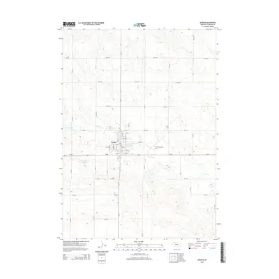
2014 Map of Gordon
USGS Topo · Published 2014About this map
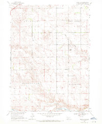
The town of Gordon serves as a concentrated hub of settlement in the western Nebraska Sandhills, anchored by a traditional grid of streets including N Spruce St and S Oak St. This 2014 survey documents a landscape where the geometric precision of county roads, such as 690th Rd and 220th Ln, meets the winding path of Antelope Cr. The presence of Antelope Creek Reservoir 40-B and Antelope Cr Reservoir 20-A indicates the critical importance of water management in this agricultural region. Genealogists and local historians can pinpoint specific locations such as the Gordon Cem south of the main town site, or examine the infrastructure supporting the community, from the Gordon Municipal Airport to the thoroughfares of Ne-27 and Us-20.
Find a feature on this map
44 named features on this map. Tap any name to fly to it.
Don’t see what you’re looking for? This feature index may not catch every label — zoom into the map to look around manually.
Map Details
Editions of this 2014 Gordon Map
This is the sole edition of this map. No revisions or reprints were ever made.
Other maps of this area

1955 · Alliance
USGS Topo · 1:250,000

1957 · Alliance
USGS Topo · 1:250,000

1958 · Alliance
USGS Topo · 1:250,000

1969 · Gordon
USGS Topo · 1:24,000
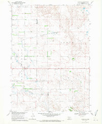
1969 · Gordon SE
USGS Topo · 1:24,000

1969 · Clinton
USGS Topo · 1:24,000

1969 · Clinton NE
USGS Topo · 1:24,000
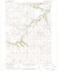
1969 · Rushville 4 NE
USGS Topo · 1:24,000
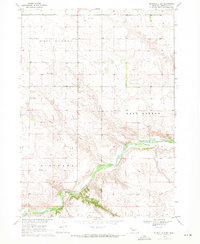
1969 · Rushville 4 NW
USGS Topo · 1:24,000
1969 · Rushville NE
USGS Topo · 1:24,000