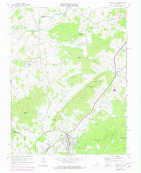
1970 Map of Gordonsville
USGS Topo · Published 1978About this map
Gordonsville anchors the southern portion of this landscape, serving as a critical junction where the Southern and Chesapeake and Ohio railroads converge. The terrain north of the town is defined by a series of prominent peaks, including Chicken Mtn, Smith Hill, and Merry Mtn, which separate the rail corridors and agricultural valleys. This survey documents the area just after the 1960s, capturing a transition from traditional rural patterns to modern infrastructure, evidenced by the Gordonsville Municipal Airport and the Sewage Disposal Ponds near the town center.
Find a feature on this map
45 named features on this map. Tap any name to fly to it.
Don’t see what you’re looking for? This feature index may not catch every label — zoom into the map to look around manually.
Map Details
Editions of this 1970 Gordonsville Map
3 editions found

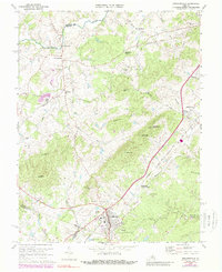
Other maps of this area

1892 · Gordonsville
USGS Topo · 1:125,000

1930 · Madison
USGS Topo · 1:48,000

1933 · Madison
USGS Topo · 1:62,500

1935 · Charlottesville
USGS Topo · 1:62,500

1939 · Charlottesville
USGS Topo · 1:62,500

1949 · Charlottesville
USGS Topo · 1:250,000

1949 · Charlottesville
USGS Topo · 1:62,500

1956 · Charlottesville
USGS Topo · 1:250,000

1961 · Gordonsville
USGS Topo · 1:62,500

1961 · Rapidan
USGS Topo · 1:62,500