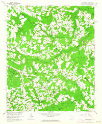
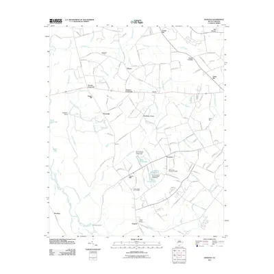
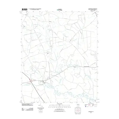
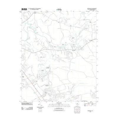
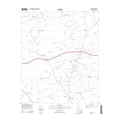
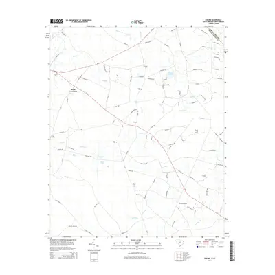
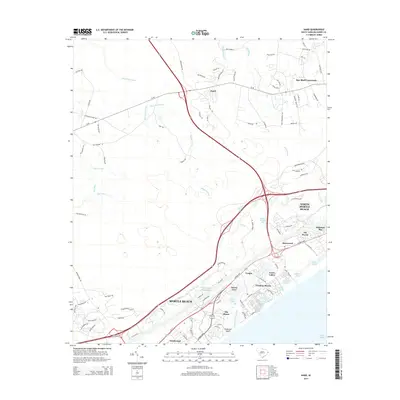
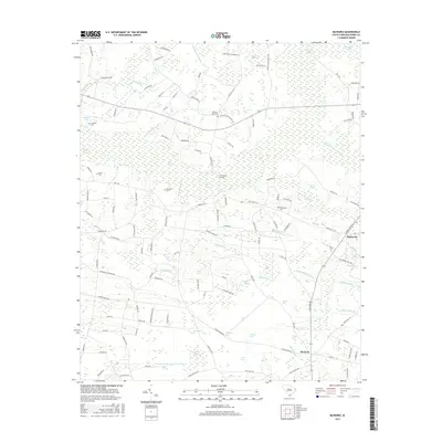
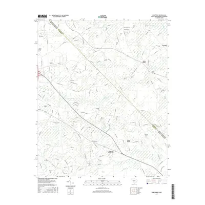
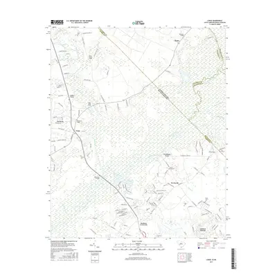
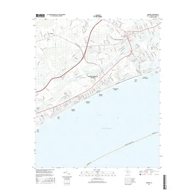
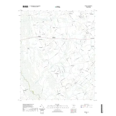
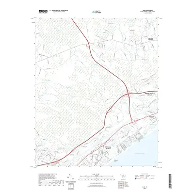
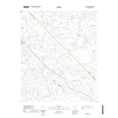
1962 Map of Goretown
USGS Topo · Published 1964About this map
Goretown and Loris anchor this inland landscape along the border of North and South Carolina in the early 1960s. The terrain is defined by an extensive network of wetlands and drainage systems, including the Juniper Swamp, Wild Cattle Swamp, and Grissett Swamp. This era reveals a rural community deeply tied to its local institutions, evidenced by the high density of country churches and family burial grounds such as Ironhill Ch, Hardee Cem, and Oak Dale Cem.
Find a feature on this map
52 named features on this map. Tap any name to fly to it.
Don’t see what you’re looking for? This feature index may not catch every label — zoom into the map to look around manually.
Map Details
Editions of this 1962 Goretown Map
2 editions found
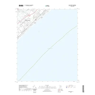
Historical Maps of Loris Through Time
98 maps found

1937 Nixonville
Horry County, SC

1942 Nixonville
Horry County, SC

1943 Adrian
Horry County, SC

1943 Bucksville
Horry County, SC

1943 Dongola
Horry County, SC

1943 Horry
Horry County, SC

1943 Wampee
Horry County, SC

1944 Adrian
Horry County, SC

1944 Longs
Horry County, SC

1948 Bayboro
Horry County, SC

1948 Galivants Ferry
Horry County, SC

1949 Bayboro
Horry County, SC

1949 Duford
Horry County, SC

1950 Galivants Ferry
Horry County, SC

1953 Longs
Horry County, SC

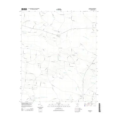
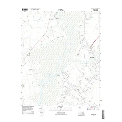
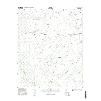
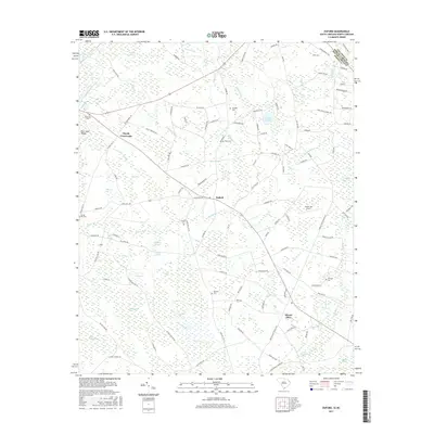
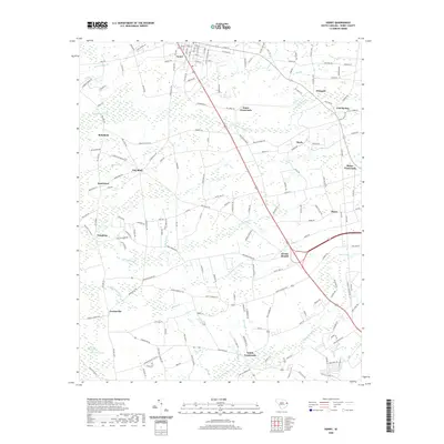
1962 Goretown
Horry County, SC

1984 Hammond
Horry County, SC

1984 Hand
Horry County, SC

1984 Nixonville
Horry County, SC

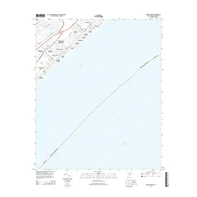
1984 Ocean Forest
Horry County, SC

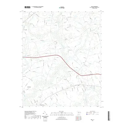
1984 Shell
Horry County, SC

1990 Longs
Horry County, SC

1990 Wampee
Horry County, SC
2011 Adrian
Horry County, SC
2011 Bayboro
Horry County, SC
2011 Bucksville
Horry County, SC
2011 Dongola
Horry County, SC
2011 Duford
Horry County, SC
2011 Galivants Ferry
Horry County, SC
2011 Goretown
Horry County, SC
2011 Hammond
Horry County, SC
2011 Hand
Horry County, SC
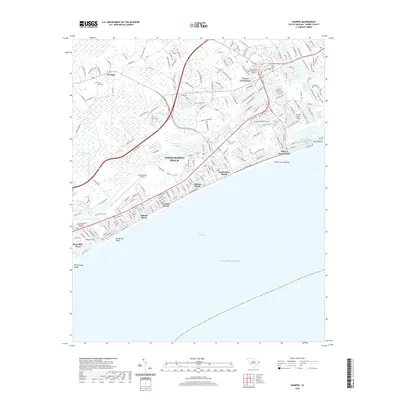
2011 Horry
Horry County, SC
2011 Longs
Horry County, SC
2011 Nixonville
Horry County, SC
2011 Ocean Forest
Horry County, SC
2011 Shell
Horry County, SC
2011 Wampee
Horry County, SC
2014 Adrian
Horry County, SC
2014 Bayboro
Horry County, SC
2014 Bucksville
Horry County, SC
2014 Dongola
Horry County, SC
2014 Duford
Horry County, SC
2014 Galivants Ferry
Horry County, SC
2014 Goretown
Horry County, SC
2014 Hammond
Horry County, SC
2014 Hand
Horry County, SC
2014 Horry
Horry County, SC
2014 Longs
Horry County, SC
2014 Nixonville
Horry County, SC
2014 Ocean Forest
Horry County, SC
2014 Shell
Horry County, SC
2014 Wampee
Horry County, SC
2017 Adrian
Horry County, SC
2017 Bayboro
Horry County, SC
2017 Bucksville
Horry County, SC
2017 Dongola
Horry County, SC
2017 Duford
Horry County, SC

2017 Galivants Ferry
Horry County, SC
2017 Goretown
Horry County, SC
2017 Hammond
Horry County, SC
2017 Hand
Horry County, SC
2017 Horry
Horry County, SC
2017 Longs
Horry County, SC
2017 Nixonville
Horry County, SC
2017 Ocean Forest
Horry County, SC
2017 Shell
Horry County, SC
2017 Wampee
Horry County, SC
2020 Adrian
Horry County, SC
2020 Bayboro
Horry County, SC
2020 Bucksville
Horry County, SC
2020 Dongola
Horry County, SC
2020 Duford
Horry County, SC
2020 Galivants Ferry
Horry County, SC
2020 Hammond
Horry County, SC
2020 Hand
Horry County, SC
2020 Horry
Horry County, SC
2020 Longs
Horry County, SC
2020 Nixonville
Horry County, SC
2020 Ocean Forest
Horry County, SC
2020 Shell
Horry County, SC
2020 Wampee
Horry County, SC
2022 Goretown
Horry County, SC

2024 Adrian
Horry County, SC

2024 Bayboro
Horry County, SC

2024 Bucksville
Horry County, SC

2024 Dongola
Horry County, SC

2024 Duford
Horry County, SC

2024 Galivants Ferry
Horry County, SC

2024 Goretown
Horry County, SC

2024 Hammond
Horry County, SC

2024 Hand
Horry County, SC

2024 Horry
Horry County, SC

2024 Longs
Horry County, SC

2024 Nixonville
Horry County, SC

2024 Ocean Forest
Horry County, SC

2024 Shell
Horry County, SC

2024 Wampee
Horry County, SC