
1893 Map of Gorham
USGS Topo · Published 1893About this map
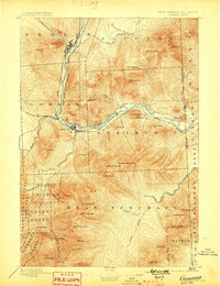
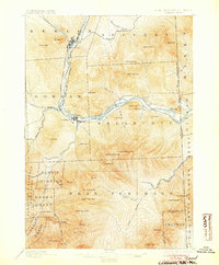
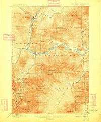
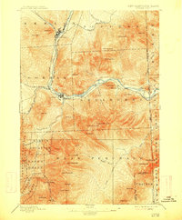
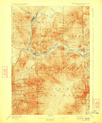
The Androscoggin River carves a critical industrial corridor through the northern White Mountains, connecting the manufacturing center at Berlin Fall to the village of Gorham. The 1890s rail network is highly developed here, with the Grand Trunk Railroad following the riverbanks and the Whitefield and Jefferson Railroad branching toward the northwest. These lines facilitated both the timber industry and the burgeoning mountain tourism of the era, visible in landmarks like the Glen House and the Madison Path.
Find a feature on this map
66 named features on this map. Tap any name to fly to it.
Don’t see what you’re looking for? This feature index may not catch every label — zoom into the map to look around manually.
Map Details
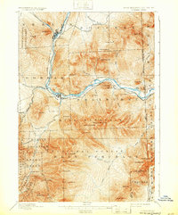
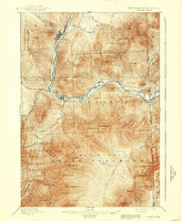
Editions of this 1893 Gorham Map
8 editions found
Other maps of this area

1893 · Mt. Washington
USGS Topo · 1:62,500

1894 · North Conway
USGS Topo · 1:62,500

1895 · Crawford Notch
USGS Topo · 1:62,500

1896 · Mt. Washington
USGS Topo · 1:62,500

1896 · Crawford Notch
USGS Topo · 1:62,500

1896 · North Conway
USGS Topo · 1:62,500

1896 · Gorham
USGS Topo · 1:62,500

1909 · Fryeburg
USGS Topo · 1:62,500

1911 · Fryeburg
USGS Topo · 1:62,500

1914 · Bethel
USGS Topo · 1:62,500