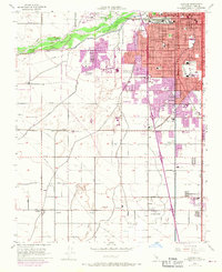
1954 Map of Gosford
USGS Topo · Published 1970About this map
The Kern River serves as the hydrological anchor for this agricultural and industrial landscape south of Bakersfield, where a complex network of irrigation channels like the Friant-Kern Canal and Stine Canal crisscross the valley floor. The map documents a period of rapid mid-century expansion, particularly visible in the purple-tinted urban growth encroaching on Wible Orchard and the development around Kern City. While the northern section is increasingly residential, the southern reaches maintain a rural character defined by scattered settlements such as Pumpkin Center and Old River.
Find a feature on this map
76 named features on this map. Tap any name to fly to it.
Don’t see what you’re looking for? This feature index may not catch every label — zoom into the map to look around manually.
Map Details
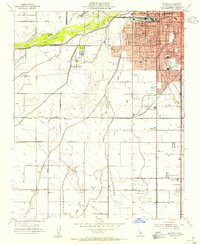
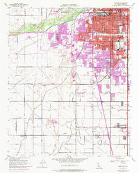
Editions of this 1954 Gosford Map
3 editions found
Other maps of this area

1906 · Bakersfield
USGS Topo · 1:62,500

1910 · Buena Vista Lake
USGS Topo · 1:125,000

1912 · Buena Vista Lake
USGS Topo · 1:125,000

1914 · Caliente
USGS Topo · 1:125,000

1929 · Stevens
USGS Topo · 1:31,680

1929 · Fairfax School
USGS Topo · 1:31,680

1930 · Weed Patch
USGS Topo · 1:31,680

1930 · Millux
USGS Topo · 1:31,680

1930 · Rosedale
USGS Topo · 1:31,680

1930 · Conner
USGS Topo · 1:31,680