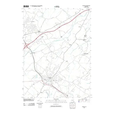
2010 Map of Goshen
USGS Topo · Published 2010About this map
Goshen serves as the central hub of this Orange County landscape, where modern infrastructure meets long-standing agricultural and local history. The town is surrounded by a high density of historical burial sites, including Saint Johns Cemetery, Saint James Cemetery, and the Slate Hill Cemetery, providing significant points of interest for genealogical research. The northern reaches are defined by the winding course of the Wallkill River, flowing past the Stony Ford Golf Course and the rural community of Stony Ford.
Find a feature on this map
89 named features on this map. Tap any name to fly to it.
Don’t see what you’re looking for? This feature index may not catch every label — zoom into the map to look around manually.
Map Details
Editions of this 2010 Goshen Map
This is the sole edition of this map. No revisions or reprints were ever made.
Other maps of this area

1902 · Schunemunk
USGS Topo · 1:62,500

1903 · Newburg
USGS Topo · 1:62,500

1904 · Ellenville
USGS Topo · 1:62,500

1906 · Ellenville
USGS Topo · 1:62,500

1906 · Goshen
USGS Topo · 1:62,500

1908 · Goshen
USGS Topo · 1:62,500

1930 · Schunemunk
USGS Topo · 1:48,000

1935 · Schunemunk
USGS Topo · 1:62,500

1938 · Goshen
USGS Topo · 1:62,500

1942 · Pine Island
USGS Topo · 1:24,000