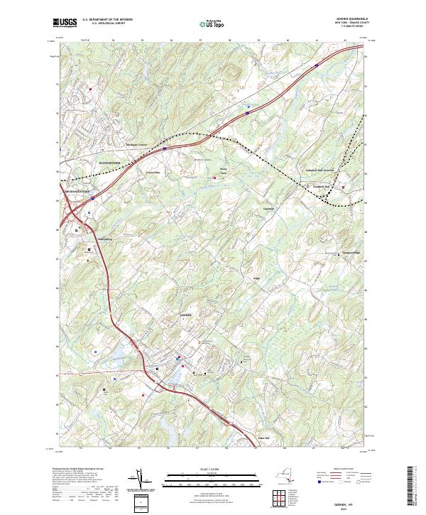
2023 Map of Goshen
USGS Topo · Published 2023About this map
Goshen serves as a prominent focal point for this region of Orange County, situated within the broad Wallkill Valley. The landscape is characterized by a dense concentration of local history markers, including the Orange County Courthouse and a significant network of cemeteries such as Saint Johns Cem, Saint James Cem, and the Veterans Memorial Cem. The Wallkill River and its tributaries, like the Otter Kill and Mannayunk Kill, dictate the drainage patterns through the lowlands, which also include the marshy Purgatory Swamp. Transport infrastructure is well-defined by the Norfolk Southern railroad line and historic routes like the Goshen Tpke. Small outlying settlements such as Scotchtown, Crystal Run, and Campbell Hall Junction reflect the established residential and commercial hubs that have grown around these rail and water corridors.
Find a feature on this map
181 named features on this map. Tap any name to fly to it.
Don’t see what you’re looking for? This feature index may not catch every label — zoom into the map to look around manually.
Map Details
Editions of this 2023 Goshen Map
This is the sole edition of this map. No revisions or reprints were ever made.
Other maps of this area

1902 · Schunemunk
USGS Topo · 1:62,500

1903 · Newburg
USGS Topo · 1:62,500

1904 · Ellenville
USGS Topo · 1:62,500

1906 · Ellenville
USGS Topo · 1:62,500

1906 · Goshen
USGS Topo · 1:62,500

1908 · Goshen
USGS Topo · 1:62,500

1930 · Schunemunk
USGS Topo · 1:48,000

1935 · Schunemunk
USGS Topo · 1:62,500

1938 · Goshen
USGS Topo · 1:62,500

1942 · Pine Island
USGS Topo · 1:24,000