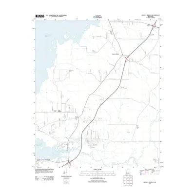
2012 Map of Goshen Springs
USGS Topo · Published 2012About this map
Ross R Barnett Reservoir dominates the western edge of this Rankin County landscape, where the waters meet the established rural communities of Goshen Springs and Fannin. The 2012 geography is characterized by a mix of residential growth and long-standing agricultural features like Hills Prairie and Barnes Prairie. Local genealogy is well-preserved through several documented burial grounds, including the Goshen Springs Pilgrim Branch Cem, True Light Cem, and the uniquely named Mount Helm Cem Number One.
Find a feature on this map
99 named features on this map. Tap any name to fly to it.
Don’t see what you’re looking for? This feature index may not catch every label — zoom into the map to look around manually.
Map Details
Editions of this 2012 Goshen Springs Map
This is the sole edition of this map. No revisions or reprints were ever made.
Other maps of this area

1903 · Jackson
USGS Topo · 1:125,000

1905 · Jackson
USGS Topo · 1:48,000

1908 · Jackson
USGS Topo · 1:62,500

1922 · Pelahatchee
USGS Topo · 1:48,000

1924 · Pelahatchee
USGS Topo · 1:62,500

1950 · Pelahatchie
USGS Topo · 1:62,500

1952 · Pelahatchie
USGS Topo · 1:62,500

1953 · Meridian
USGS Topo · 1:250,000

1955 · Jackson
USGS Topo · 1:250,000

1957 · Meridian
USGS Topo · 1:250,000