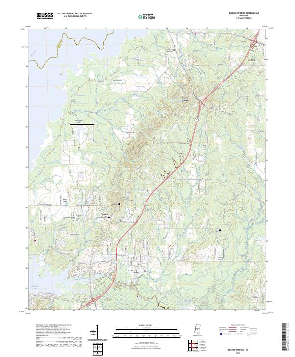
2024 Map of Goshen Springs
USGS Topo · Published 2024About this map
Fannin and Goshen Springs serve as central nodes for this pocket of Rankin County, where the landscape transitions from the wooded banks of the Pearl River to upland prairies. The map reveals a dense network of country roads and family cemeteries, suggesting a long-established rural community structure. Many of these sites, such as Goshen Springs Pilgrim Branch Cem and Mount Helm Cem Number One, provide critical touchstones for local genealogical research.
Find a feature on this map
109 named features on this map. Tap any name to fly to it.
Don’t see what you’re looking for? This feature index may not catch every label — zoom into the map to look around manually.
Map Details
Editions of this 2024 Goshen Springs Map
This is the sole edition of this map. No revisions or reprints were ever made.
Other maps of this area

1903 · Jackson
USGS Topo · 1:125,000

1905 · Jackson
USGS Topo · 1:48,000

1908 · Jackson
USGS Topo · 1:62,500

1922 · Pelahatchee
USGS Topo · 1:48,000

1924 · Pelahatchee
USGS Topo · 1:62,500

1950 · Pelahatchie
USGS Topo · 1:62,500

1952 · Pelahatchie
USGS Topo · 1:62,500

1953 · Meridian
USGS Topo · 1:250,000

1955 · Jackson
USGS Topo · 1:250,000

1957 · Meridian
USGS Topo · 1:250,000