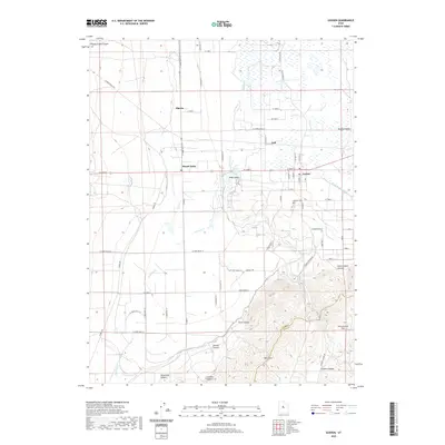
2020 Map of Goshen
USGS Topo · Published 2020About this map
Goshen and the surrounding irrigated fields of Goshen Valley sit at the southern edge of the Utah Valley, where the landscape transitions into the high ridges of the West Hills. This 2020 record illustrates the complex water management system essential to the region, including the Goshen Reservoir, Currant Cr Canal, and Warm Springs Ditch. These man-made features work in tandem with natural drainages like Kimball Cr to support the agricultural settlements of Elberta, Lant, and Mount Nebo.
Find a feature on this map
64 named features on this map. Tap any name to fly to it.
Don’t see what you’re looking for? This feature index may not catch every label — zoom into the map to look around manually.
Map Details
Editions of this 2020 Goshen Map
This is the sole edition of this map. No revisions or reprints were ever made.
Other maps of this area

1885 · Salt Lake
USGS Topo · 1:250,000

1885 · Manti
USGS Topo · 1:250,000

1885 · Sevier Desert
USGS Topo · 1:250,000

1885 · Tooele Valley
USGS Topo · 1:250,000

1895 · Manti
USGS Topo · 1:250,000

1947 · Fivemile Pass
USGS Topo · 1:62,500

1947 · Allens Ranch
USGS Topo · 1:24,000

1949 · Eureka
USGS Topo · 1:24,000

1949 · Allens Ranch
USGS Topo · 1:24,000

1950 · West Mountain
USGS Topo · 1:24,000