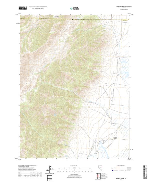
2021 Map of Goshute Creek
USGS Topo · Published 2021About this map
Indian Ranch Spring and several other water sources anchor this high-elevation landscape in eastern Nevada, where the border between Elko and White Pine counties divides the terrain. The topography is dominated by the Goshute Basin and Steptoe Valley, showing a classic Basin and Range environment where seasonal drainages like McDermid Cr and Goshute Cr flow from the surrounding heights toward the flats.
Find a feature on this map
19 named features on this map. Tap any name to fly to it.
Don’t see what you’re looking for? This feature index may not catch every label — zoom into the map to look around manually.
Map Details
Editions of this 2021 Goshute Creek Map
This is the sole edition of this map. No revisions or reprints were ever made.
Other maps of this area

1955 · Elko
USGS Topo · 1:250,000

1956 · Ely
USGS Topo · 1:250,000

1958 · Elko
USGS Topo · 1:250,000

1959 · Ely
USGS Topo · 1:250,000

1962 · Elko
USGS Topo · 1:250,000

1963 · Ely
USGS Topo · 1:250,000

1965 · Elko
USGS Topo · 1:250,000

1982 · Exchequer Spring
USGS Topo · 1:24,000

1982 · Cherry Spring
USGS Topo · 1:24,000
1982 · Goshute Lake South
USGS Topo · 1:24,000