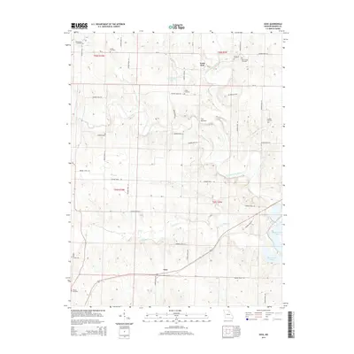
2014 Map of Goss
USGS Topo · Published 2014About this map
Goss sits as the central settlement in this rural Monroe County landscape, positioned where the southern drainage of Otter Cr meets a network of local thoroughfares. The terrain is defined by the winding course of the North Fork Salt River, which carves through the northeastern quadrant near a distinctive landform known as The Narrows. To the southeast, the rising waters of Mark Twain Lake reach into the river valley, fundamentally altering the local hydrology and shoreline compared to earlier eras. Genealogists will find a high density of burial sites scattered across the township, including Mount Joy Cemetery, Deer Creek Cemetery, and Crutcher Cemetery, which preserve the names of early resident families. The map details an intricate web of county routes, such as Monroe Road 319 and Monroe Road 358, that connect these remote homesteads and agricultural plots.
Find a feature on this map
48 named features on this map. Tap any name to fly to it.
Don’t see what you’re looking for? This feature index may not catch every label — zoom into the map to look around manually.
Map Details
Editions of this 2014 Goss Map
This is the sole edition of this map. No revisions or reprints were ever made.
Other maps of this area
1890 · Mexico
USGS Topo · 1:125,000
1890 · Moberly
USGS Topo · 1:125,000
1903 · Palmyra
USGS Topo · 1:125,000
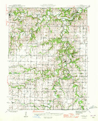
1945 · Florida
USGS Topo · 1:62,500
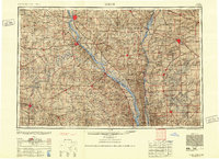
1948 · Quincy
USGS Topo · 1:250,000
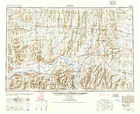
1953 · Moberly
USGS Topo · 1:250,000
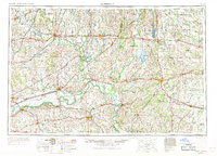
1954 · Moberly
USGS Topo · 1:250,000
1956 · Quincy
USGS Topo · 1:250,000
1957 · Moberly
USGS Topo · 1:250,000
1959 · Shelbina
USGS Topo · 1:24,000