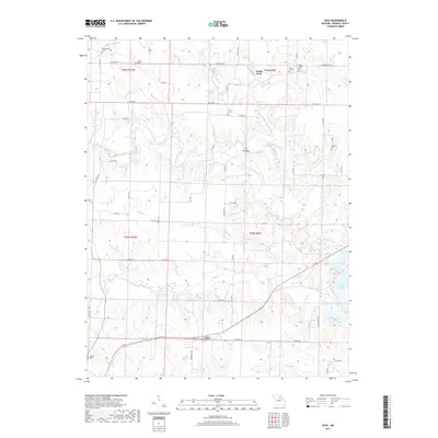
2017 Map of Goss
USGS Topo · Published 2017About this map
The settlement of Goss sits at a crossroads in southern Monroe County, where the landscape is defined by the winding course of the North Fork Salt River and the backwaters of Mark Twain Lake. The area's agricultural and social history is visible through a dense network of family and community burial grounds, including Greenwood Cem, Collins Cem, and Bowers Cem in the southwest. A notable geographic feature, The Narrows, is formed by a tight bend in Crooked Creek, which meanders extensively before joining the larger river system. To the north, Don Dodge Lake and Deer Creek shape the drainage patterns near the county's northern reaches. This 2017 survey shows a region where modern county roads like Co RD 310 and Co RD 360 follow established section lines, occasionally diverging to navigate the deeply incised valleys of Otter Creek and its various tributaries.
Find a feature on this map
57 named features on this map. Tap any name to fly to it.
Don’t see what you’re looking for? This feature index may not catch every label — zoom into the map to look around manually.
Map Details
Editions of this 2017 Goss Map
This is the sole edition of this map. No revisions or reprints were ever made.
Other maps of this area
1890 · Mexico
USGS Topo · 1:125,000
1890 · Moberly
USGS Topo · 1:125,000
1903 · Palmyra
USGS Topo · 1:125,000
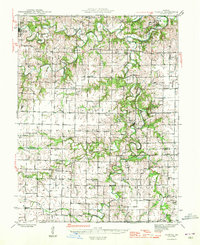
1945 · Florida
USGS Topo · 1:62,500
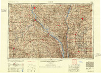
1948 · Quincy
USGS Topo · 1:250,000
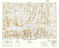
1953 · Moberly
USGS Topo · 1:250,000
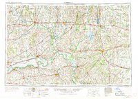
1954 · Moberly
USGS Topo · 1:250,000
1956 · Quincy
USGS Topo · 1:250,000
1957 · Moberly
USGS Topo · 1:250,000
1959 · Shelbina
USGS Topo · 1:24,000