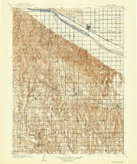
1979 Map of Gothenburg
USGS Topo · Published 1979About this map
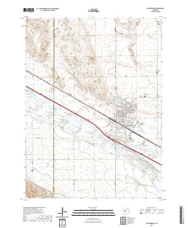
The Platte River corridor defines the northeastern edge of this Nebraska landscape, where the Union Pacific railroad and a complex network of irrigation canals—including the Cozad Canal and Thirty-mile Canal—support the agricultural hubs of Gothenburg and Cozad. Moving south from the river valley, the terrain transitions into a dense system of canyons and creeks, such as Box Elder Canyon and Medicine Creek. This area illustrates the late 1970s rural infrastructure of Frontier and Dawson Counties, with small settlements like Stockville and Eustis serving as centers for the surrounding ranching and farming communities. The presence of the Burlington Northern line through Curtis and Maywood highlights the importance of rail transport for moving local goods. Water management is a central theme, evidenced by several reservoirs like Jeffrey Reservoir and Strunk Lake, which provide critical resources in this semi-arid environment.
Find a feature on this map
76 named features on this map. Tap any name to fly to it.
Don’t see what you’re looking for? This feature index may not catch every label — zoom into the map to look around manually.
Map Details
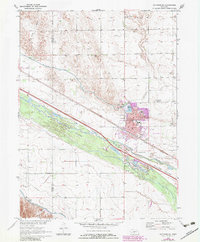
Editions of this 1979 Gothenburg Map
This is the sole edition of this map. No revisions or reprints were ever made.
Historical Maps of Cozad Through Time
7 maps found