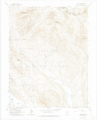
1961 Map of Gothic
USGS Topo · Published 1974About this map
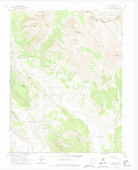
The settlement of Gothic sits at the base of the high Elk Mountains, serving as a central point in this early 1960s landscape where mining history meets emerging recreation. The transition from extraction to leisure is visible near the southern boundary, where a Ski Tow and Gondola Lift indicate the early development of the ski industry on the slopes of Crested Butte. The rugged topography is defined by high-altitude peaks like Avery Peak and Teocalli Mountain, with numerous narrow routes such as the Jeep Trail and Pack Trail threading through the basins.
Find a feature on this map
43 named features on this map. Tap any name to fly to it.
Don’t see what you’re looking for? This feature index may not catch every label — zoom into the map to look around manually.
Map Details
Editions of this 1961 Gothic Map
7 editions found
Other maps of this area

1888 · Crested Butte
USGS Topo · 1:62,500

1888 · Anthracite
USGS Topo · 1:62,500

1889 · Crested Butte
USGS Topo · 1:62,500

1889 · Anthracite
USGS Topo · 1:62,500

1893 · Anthracite
USGS Topo · 1:62,500

1893 · Crested Butte
USGS Topo · 1:62,500

1893 · Aspen
USGS Topo · 1:62,500

1894 · Anthracite
USGS Topo · 1:62,500

1895 · Aspen
USGS Topo · 1:62,500

1909 · Mount Jackson
USGS Topo · 1:125,000