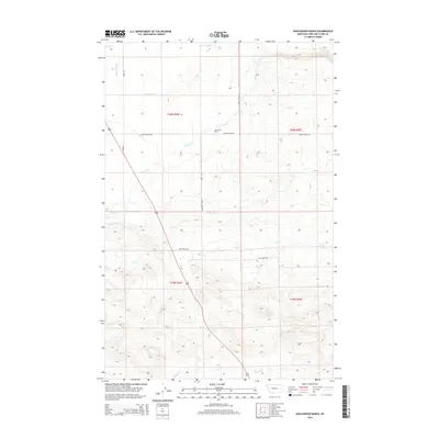
2014 Map of Gouchnour Ranch
USGS Topo · Published 2014About this map
Gouchnour Ranch sits at the center of this landscape in Lewis and Clark County, where the plains meet the water management systems of the early twenty-first century. The area is defined by its complex irrigation and drainage network, including the Lame Ditch, Florence Canal, and the natural winding path of Spring Cr. These features highlight the importance of water rights and land use in this part of Montana, supporting ranching operations across the high country. In the northern reaches, Meyer Lake and Hogan Slough provide distinct landmarks among the surveyed township and range lines. Local thoroughfares like Camp Walker Rd and Dry Creek Rd connect the isolated ranching properties, tracing the routes used by generations of residents to navigate the terrain between Elk Cr and Dry Cr.
Find a feature on this map
18 named features on this map. Tap any name to fly to it.
Don’t see what you’re looking for? This feature index may not catch every label — zoom into the map to look around manually.
Map Details
Editions of this 2014 Gouchnour Ranch Map
This is the sole edition of this map. No revisions or reprints were ever made.
Other maps of this area
1920 · Choteau
USGS Topo · 1:125,000
1943 · Hogan
USGS Topo · 1:125,000
1955 · Choteau
USGS Topo · 1:250,000
1957 · Choteau
USGS Topo · 1:250,000
1958 · Choteau
USGS Topo · 1:250,000
1960 · Gilman
USGS Topo · 1:62,500
1960 · Freezeout Lake
USGS Topo · 1:62,500
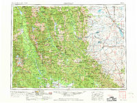
1962 · Choteau
USGS Topo · 1:250,000
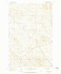
1962 · Bowmans Corners
USGS Topo · 1:24,000
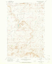
1963 · Bowmans Corners NW
USGS Topo · 1:24,000