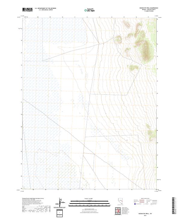
2021 Map of Gouge Eye Well
USGS Topo · Published 2021About this map
Lincoln County's high-desert basin and range topography is meticulously documented in this survey, which focuses on the grid-based land divisions of the Public Land Survey System. The area is defined by expansive flatlands, likely seasonal or intermittent lake beds, which occupy the western portion across T9n R65e and T8n R65e. As the landscape moves eastward into T9n R66e and T8n R66e, the terrain rises into prominent ridgelines and hills. This map is an essential reference for understanding contemporary land management and geographic boundaries in this part of Nevada, illustrating how the township and range system organizes the remote desert territory between the valley floors and the higher elevations of T9n R67e.
Find a feature on this map
9 named features on this map. Tap any name to fly to it.
Don’t see what you’re looking for? This feature index may not catch every label — zoom into the map to look around manually.
Map Details
Editions of this 2021 Gouge Eye Well Map
This is the sole edition of this map. No revisions or reprints were ever made.
Other maps of this area

1956 · Lund
USGS Topo · 1:250,000

1960 · Lund
USGS Topo · 1:250,000

1973 · Gouge Eye Well
USGS Topo · 1:24,000

1973 · Horse Corral Pass
USGS Topo · 1:24,000
1973 · Dutch John Mtn
USGS Topo · 1:24,000

1973 · Indian Springs Knolls
USGS Topo · 1:24,000
1973 · Mustang Well
USGS Topo · 1:24,000
1973 · Mount Grafton NE
USGS Topo · 1:24,000
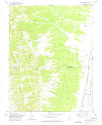
1978 · Mt. Grafton
USGS Topo · 1:24,000
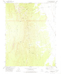
1978 · The Gouge Eye
USGS Topo · 1:24,000