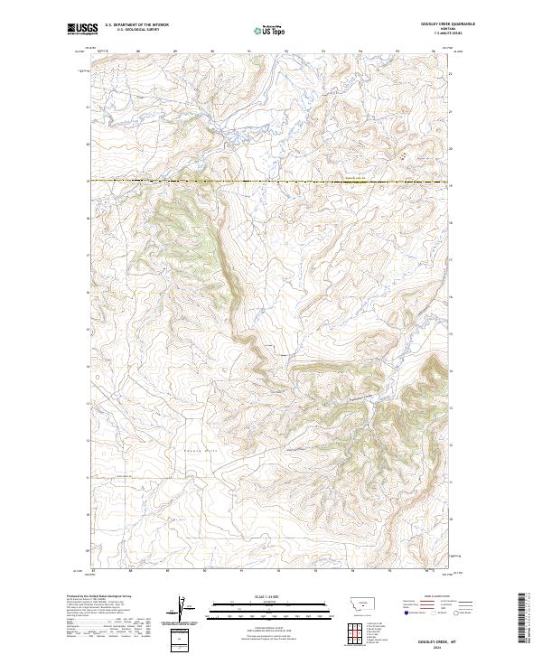
2024 Map of Gougley Creek
USGS Topo · Published 2024About this map
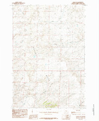
The Cayuse Hills dominate this section of the Montana landscape, straddling the boundary between Wheatland County and Sweet Grass County. This modern survey illustrates a high-plains environment defined by dramatic drainage systems, including Fredrickson Coulee and Sheep Shed Coulee, which carve into the rising terrain. The map reveals a land divided by the Public Land Survey System, with township and range lines like t5n r15e and t5n r16e providing the structural grid for this rural territory.
Find a feature on this map
19 named features on this map. Tap any name to fly to it.
Don’t see what you’re looking for? This feature index may not catch every label — zoom into the map to look around manually.
Map Details
Editions of this 2024 Gougley Creek Map
This is the sole edition of this map. No revisions or reprints were ever made.
Other maps of this area

1889 · Big Snowy Mountain
USGS Topo · 1:250,000

1893 · Big Snowy Mountain
USGS Topo · 1:250,000

1954 · Roundup
USGS Topo · 1:250,000

1958 · Roundup
USGS Topo · 1:250,000
1985 · Upper Glaston Lake
USGS Topo · 1:24,000

1985 · Jim Creek
USGS Topo · 1:24,000
1985 · Gougley Creek
USGS Topo · 1:24,000
1985 · Melville NW
USGS Topo · 1:24,000
1985 · Gibson SW
USGS Topo · 1:24,000
1985 · Melville
USGS Topo · 1:24,000