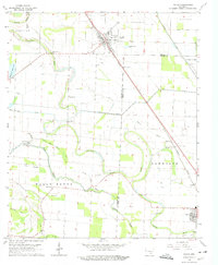
1964 Map of Gould
USGS Topo · Published 1975About this map
Gould serves as the primary hub of this Arkansas Delta landscape in the mid-1960s, situated along the Missouri Pacific rail line. The map reveals an intricate network of drainage and irrigation essential to the local agricultural economy, including the Kerch Canal and Ladd Canal, which weave between the serpentine curves of Choctaw Bayou and Wells Bayou. Rural life is anchored by numerous community landmarks such as the Wells Bayou School and a collection of country churches like Mount Moriah and Union Grove. Small-scale aviation is represented by the Hudson Landing Strip and Mayer Airport, reflecting the era's reliance on aerial application for crops. The boundary between Lincoln Co and Desha Co bisects the region, where family-named sites like Thomas Cemetery and Madden Cemetery provide valuable touchpoints for genealogical research.
Find a feature on this map
43 named features on this map. Tap any name to fly to it.
Don’t see what you’re looking for? This feature index may not catch every label — zoom into the map to look around manually.
Map Details
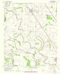
Editions of this 1964 Gould Map
2 editions found
Other maps of this area

1935 · Varner
USGS Topo · 1:62,500

1935 · Rotan
USGS Topo · 1:62,500

1935 · Red Fork
USGS Topo · 1:62,500

1935 · Gillett
USGS Topo · 1:62,500

1948 · Helena
USGS Topo · 1:250,000

1950 · Helena
USGS Topo · 1:250,000

1953 · Greenwood
USGS Topo · 1:250,000

1955 · Helena
USGS Topo · 1:250,000

1956 · Greenwood
USGS Topo · 1:250,000

1959 · Helena
USGS Topo · 1:250,000