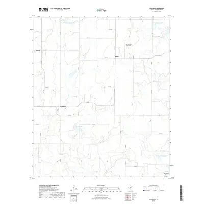
2019 Map of Gouldbusk
USGS Topo · Published 2019About this map
Gouldbusk serves as a central hub for this portion of Coleman County, where the intersection of FM 1026 and Co RD 300 marks a quiet pocket of the Texas ranching landscape. The terrain is defined by a series of intermittent drainage systems, most notably the meandering course of Bull Cr which winds south toward Johnson Lake. The map reveals an area deeply integrated with water management efforts, featuring several reservoirs such as Soil Conservation Service Site 20 Reservoir.
Find a feature on this map
41 named features on this map. Tap any name to fly to it.
Don’t see what you’re looking for? This feature index may not catch every label — zoom into the map to look around manually.
Map Details
Editions of this 2019 Gouldbusk Map
This is the sole edition of this map. No revisions or reprints were ever made.
Other maps of this area
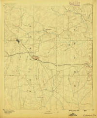
1887 · Coleman
USGS Topo · 1:125,000
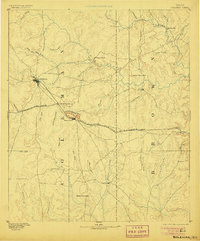
1889 · Coleman
USGS Topo · 1:125,000
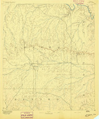
1892 · Eden
USGS Topo · 1:125,000
1892 · Ballinger
USGS Topo · 1:125,000
1894 · Brady
USGS Topo · 1:125,000
1896 · Eden
USGS Topo · 1:125,000
1924 · Eden 1-a
USGS Topo · 1:48,000
1924 · Brady 2-a
USGS Topo · 1:48,000
1925 · Brady 2-b
USGS Topo · 1:48,000
1928 · Waldrip
USGS Topo · 1:62,500