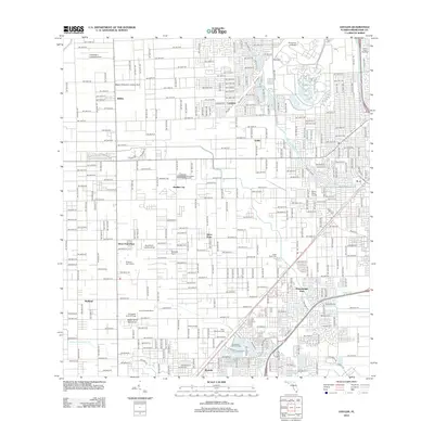
2012 Map of Goulds
USGS Topo · Published 2012About this map
Aladdin City and Silver Palm anchor this landscape in south-central Miami-Dade County, representing a grid-dominated transition between agricultural heritage and suburban expansion. The map details a complex network of residential developments and rural pockets, including named locales like Modello and Inlikita. Significant aviation history is evident through the presence of Lindbergh's Landing Airport, Miami Gliderport Landing Strip, and Gouldstein Landing Strip, reflecting the region's long-standing connection to light aircraft and private airfields.
Find a feature on this map
35 named features on this map. Tap any name to fly to it.
Don’t see what you’re looking for? This feature index may not catch every label — zoom into the map to look around manually.
Map Details
Editions of this 2012 Goulds Map
This is the sole edition of this map. No revisions or reprints were ever made.
Other maps of this area

1949 · South Miami NW
USGS Topo · 1:24,000

1949 · Arsenicker Keys
USGS Topo · 1:24,000

1949 · Goulds
USGS Topo · 1:24,000

1949 · Perrine
USGS Topo · 1:24,000

1950 · Homestead
USGS Topo · 1:24,000

1950 · South Miami
USGS Topo · 1:24,000

1955 · South Miami NW
USGS Topo · 1:24,000

1956 · Goulds
USGS Topo · 1:24,000

1956 · Perrine
USGS Topo · 1:24,000

1956 · South Miami
USGS Topo · 1:24,000