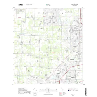
2018 Map of Goulds
USGS Topo · Published 2018About this map
Goulds and Princeton serve as central nodes in this detailed survey of southern Miami-Dade County, where residential expansion meets a complex network of managed waterways. The landscape is defined by the Princeton Canal Number C-102 and Black Creek Canal No C-1W, illustrating the region's reliance on water management for land development. Notable residential areas like Richmond West and South Miami Heights show the dense suburban grid, while more specialized locales like Homestead Arb and the Lindbergh's Landing airfield reflect the area's diverse land use.
Find a feature on this map
44 named features on this map. Tap any name to fly to it.
Don’t see what you’re looking for? This feature index may not catch every label — zoom into the map to look around manually.
Map Details
Editions of this 2018 Goulds Map
This is the sole edition of this map. No revisions or reprints were ever made.
Other maps of this area

1949 · South Miami NW
USGS Topo · 1:24,000

1949 · Arsenicker Keys
USGS Topo · 1:24,000

1949 · Goulds
USGS Topo · 1:24,000

1949 · Perrine
USGS Topo · 1:24,000

1950 · Homestead
USGS Topo · 1:24,000

1950 · South Miami
USGS Topo · 1:24,000

1955 · South Miami NW
USGS Topo · 1:24,000

1956 · Goulds
USGS Topo · 1:24,000

1956 · Perrine
USGS Topo · 1:24,000

1956 · South Miami
USGS Topo · 1:24,000