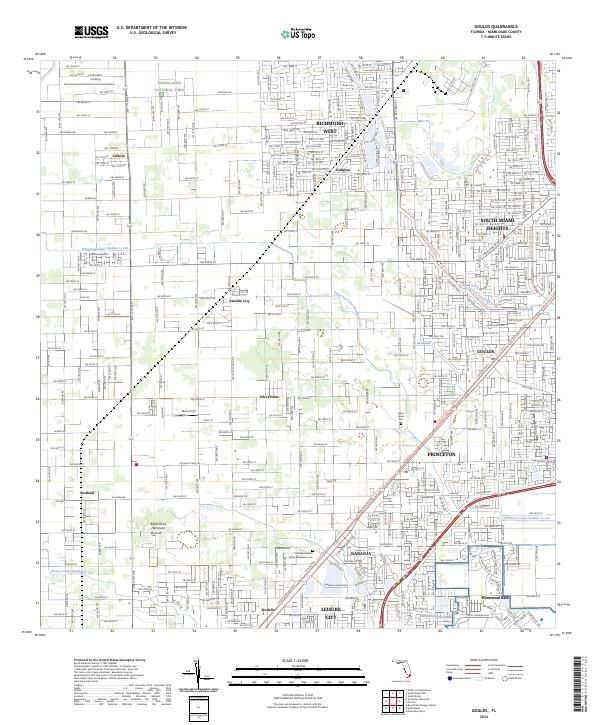
2024 Map of Goulds
USGS Topo · Published 2024About this map
Everglades National Park borders the western edge of this suburban and agricultural landscape, illustrating the sharp line between preserved wetlands and South Florida's expansion. The region is defined by a dense grid of residential developments like South Miami Heights and Richmond West alongside established communities such as Goulds and Princeton. This area reflects a deep-rooted agricultural history, visible in the orchards and groves surrounding Redland and Silver Palm.
Find a feature on this map
158 named features on this map. Tap any name to fly to it.
Don’t see what you’re looking for? This feature index may not catch every label — zoom into the map to look around manually.
Map Details
Editions of this 2024 Goulds Map
This is the sole edition of this map. No revisions or reprints were ever made.
Other maps of this area

1949 · South Miami NW
USGS Topo · 1:24,000

1949 · Arsenicker Keys
USGS Topo · 1:24,000

1949 · Goulds
USGS Topo · 1:24,000

1949 · Perrine
USGS Topo · 1:24,000

1950 · Homestead
USGS Topo · 1:24,000

1950 · South Miami
USGS Topo · 1:24,000

1955 · South Miami NW
USGS Topo · 1:24,000

1956 · Goulds
USGS Topo · 1:24,000

1956 · Perrine
USGS Topo · 1:24,000

1956 · South Miami
USGS Topo · 1:24,000