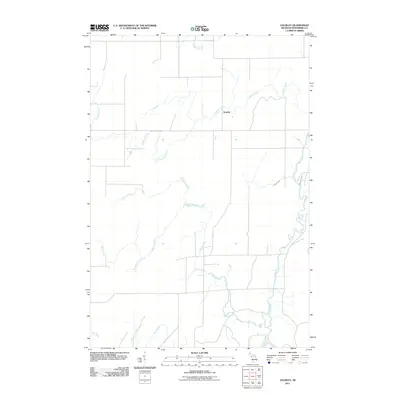
2011 Map of Gourley
USGS Topo · Published 2011About this map
The Gourley settlement serves as the central point of this Menominee County landscape, situated at a junction of rural roads and woodland tributaries. The geography is defined by a dense network of watercourses, most notably the Cedar River which winds through the eastern portion of the quadrangle. A system of creeks, including the winding Devils Creek, Crooked Creek, and Camp H Creek, create a complex drainage pattern across the township. The orientation of local routes like Collard Creek road suggests a landscape shaped by early timber interests and small-scale agriculture. This survey captures the remote character of the Upper Peninsula just after the turn of the 21st century, showing a region where natural water features like Mashek Creek and Crawford Creek remain the primary landmarks for local navigation and property boundaries.
Find a feature on this map
11 named features on this map. Tap any name to fly to it.
Don’t see what you’re looking for? This feature index may not catch every label — zoom into the map to look around manually.
Map Details
Editions of this 2011 Gourley Map
This is the sole edition of this map. No revisions or reprints were ever made.
Other maps of this area

1932 · Bark River NE
USGS Topo · 1:31,680

1949 · Stephenson
USGS Topo · 1:48,000

1954 · Escanaba
USGS Topo · 1:250,000

1957 · Escanaba
USGS Topo · 1:250,000

1958 · Escanaba
USGS Topo · 1:250,000

1963 · Bark River
USGS Topo · 1:62,500

1963 · Powers
USGS Topo · 1:62,500

1963 · Cedar River
USGS Topo · 1:62,500

1963 · Stephenson
USGS Topo · 1:62,500

1981 · Marinette
USGS Topo · 1:100,000