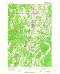
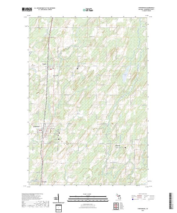
1963 Map of Stephenson
USGS Topo · Published 1965About this map
The Menominee River carves a winding border between Michigan and Wisconsin, anchoring a landscape defined by the timber and agricultural lands of the Menominee State Forest. Along the Chicago and North Western rail line, a string of historic lumber and farming communities including Stephenson, Daggett, and Wallace follow the path of U.S. 41. The survey documents numerous local landmarks of genealogical value, such as the Danish Cem and St Marks Ch, alongside small rural outposts like Carbondale and Ingalls. Industrial footprints are visible at the Grand Rapids Dam and various scattered Gravel Pits. The map captures the Upper Peninsula's mid-century transition from a purely extractive economy to a mix of state-managed forestry and settled agricultural life, evidenced by the proximity of the McAllister Sch to the river's edge and the surrounding wilder tracts.
Find a feature on this map
74 named features on this map. Tap any name to fly to it.
Don’t see what you’re looking for? This feature index may not catch every label — zoom into the map to look around manually.
Map Details
Editions of this 1963 Stephenson Map
This is the sole edition of this map. No revisions or reprints were ever made.
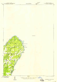
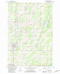
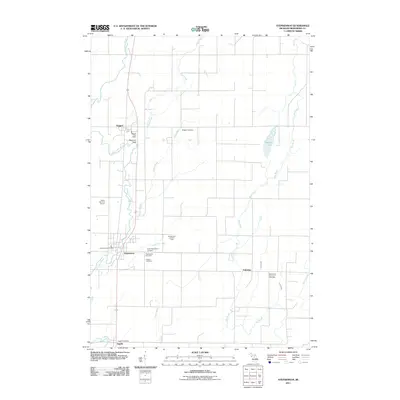
Historical Maps of Stephenson Through Time
8 maps found
Featured Locations
- Wagner, WI
- Menominee Township, MI
- Ingallston Township, MI
- Stephenson, Stephenson Township
- Daggett, Daggett Township