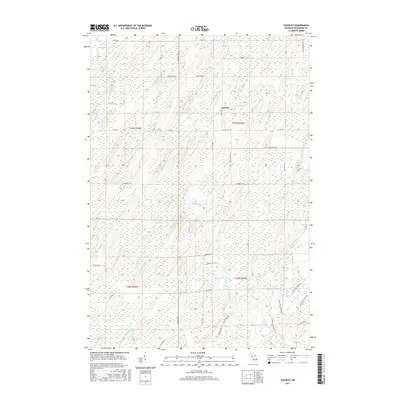
2017 Map of Gourley
USGS Topo · Published 2017About this map
The small settlement of Gourley serves as a quiet center for this corner of Menominee County, situated amid a landscape defined by an intricate network of waterways and low-lying wetlands. The Cedar River flows through the southeastern portion of the quadrangle, accompanied by the Cedar River Pathway, a notable trail system that follows the river's winding course. The drainage patterns here are remarkably dense, with numerous named streams including Devils Creek, Crooked Cr, Collard Cr, and Mashek Cr feeding into larger systems or terminating in marshy pockets. This 2017 survey reveals a modern rural infrastructure of numbered county roads like Co RD 374 and Co RD 557, which provide access to the timbered and water-rich terrain of Gourley Township. The proximity of Hasper Lake and various creeks like Camp H Cr and Degraves Cr underscores the importance of local water resources to this Upper Peninsula community.
Find a feature on this map
45 named features on this map. Tap any name to fly to it.
Don’t see what you’re looking for? This feature index may not catch every label — zoom into the map to look around manually.
Map Details
Editions of this 2017 Gourley Map
This is the sole edition of this map. No revisions or reprints were ever made.
Other maps of this area

1932 · Bark River NE
USGS Topo · 1:31,680

1949 · Stephenson
USGS Topo · 1:48,000

1954 · Escanaba
USGS Topo · 1:250,000

1957 · Escanaba
USGS Topo · 1:250,000

1958 · Escanaba
USGS Topo · 1:250,000

1963 · Bark River
USGS Topo · 1:62,500

1963 · Powers
USGS Topo · 1:62,500

1963 · Cedar River
USGS Topo · 1:62,500

1963 · Stephenson
USGS Topo · 1:62,500

1981 · Marinette
USGS Topo · 1:100,000