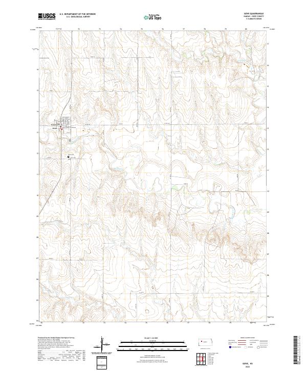
2022 Map of Gove
USGS Topo · Published 2022About this map
Gove City serves as the focal point of this western Kansas prairie landscape, situated near the headwaters of Hackberry Cr. As the county seat, the small grid of the city contains the Gove County Courthouse, surrounded by a vast network of section roads that define the region's agricultural layout. The terrain is marked by the branching drainage of Hackberry Cr, Spring Cr, and Indian Cr, which cut through the high plains. Outside the immediate settlement of Gove City, the land is characterized by open spaces and rural routes like Gove O Rd and Co Rd 452, reflecting a community deeply tied to its geography and the traditional land survey system of the American West.
Find a feature on this map
1 named feature on this map. Tap any name to fly to it.
Don’t see what you’re looking for? This feature index may not catch every label — zoom into the map to look around manually.
Map Details
Editions of this 2022 Gove Map
This is the sole edition of this map. No revisions or reprints were ever made.
Other maps of this area

1954 · Goodland
USGS Topo · 1:250,000

1955 · Scott City
USGS Topo · 1:250,000

1956 · Goodland
USGS Topo · 1:250,000

1957 · Goodland
USGS Topo · 1:250,000

1958 · Scott City
USGS Topo · 1:250,000

1972 · Gove NE
USGS Topo · 1:24,000

1972 · Orion NE
USGS Topo · 1:24,000

1972 · Gove
USGS Topo · 1:24,000

1974 · Gove SW
USGS Topo · 1:24,000

1974 · Gove SE
USGS Topo · 1:24,000