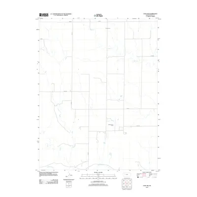
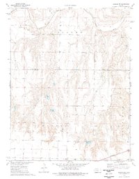
2012 Map of Gove SW
USGS Topo · Published 2012About this map
The Smoky Hill River flows along the southern edge of this western Kansas landscape, anchoring a region defined by agricultural aviation and a strict grid of county roads. In the early 21st century, the area served as a hub for aerial application and local transport, evidenced by the presence of Tustin Airport in the north and Beesley Farms Airport near the center of the quadrangle. These small airfields highlight the importance of aviation in managing the expansive farms of Gove County. The terrain is further etched by drainage networks like Indian Cr and Plum Cr, which carve seasonal paths through the high plains toward the river. Local infrastructure is marked by a network of designated routes such as Gove M, Gove 48, and Gove H, providing a clear view of the rural transportation patterns that sustained the local ranching and farming economy during this period.
Find a feature on this map
12 named features on this map. Tap any name to fly to it.
Don’t see what you’re looking for? This feature index may not catch every label — zoom into the map to look around manually.
Map Details
Editions of this 2012 Gove SW Map
This is the sole edition of this map. No revisions or reprints were ever made.
Other maps of this area

1955 · Scott City
USGS Topo · 1:250,000

1958 · Scott City
USGS Topo · 1:250,000
1972 · Gove NE
USGS Topo · 1:24,000
1972 · Orion NE
USGS Topo · 1:24,000
1972 · Gove
USGS Topo · 1:24,000
1974 · Cheyenne Creek
USGS Topo · 1:24,000
1974 · Gove SW
USGS Topo · 1:24,000
1974 · Gove SE
USGS Topo · 1:24,000
1974 · Orion SE
USGS Topo · 1:24,000
1974 · Shields NW
USGS Topo · 1:24,000