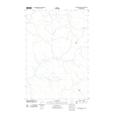
2011 Map of Government Hill SE
USGS Topo · Published 2011About this map
The high plains of Custer County are defined by a network of seasonal drainages and essential water sources, centered on the winding course of North Woman Creek and the evocative Iron Teeth Woman Creek. This 2011 survey illustrates a landscape primarily shaped by cattle ranching and water management, where remote landmarks like Sunshine Camp stand as outposts in the vast Montana rangeland. The distribution of watering points such as Fessler Springs and Chimney Springs highlights the critical importance of natural hydrology in this arid environment. Man-made improvements are equally significant for the area's agricultural utility, evidenced by the strategic placement of the Jones Number 4 Dam and Severson Number 3 Dam. Together, these features map a territory where human activity is inextricably tied to the intermittent flows of East Fork Mill Creek and its neighboring tributaries.
Find a feature on this map
10 named features on this map. Tap any name to fly to it.
Don’t see what you’re looking for? This feature index may not catch every label — zoom into the map to look around manually.
Map Details
Editions of this 2011 Government Hill SE Map
This is the sole edition of this map. No revisions or reprints were ever made.
Other maps of this area

1953 · Miles City
USGS Topo · 1:250,000

1957 · Miles City
USGS Topo · 1:250,000

1958 · Miles City
USGS Topo · 1:250,000

1969 · Horse Creek
USGS Topo · 1:24,000

1969 · Haines Springs
USGS Topo · 1:24,000

1969 · First Creek
USGS Topo · 1:24,000

1969 · Loaf of Bread Butte
USGS Topo · 1:24,000

1969 · Government Hill
USGS Topo · 1:24,000

1969 · The Knob
USGS Topo · 1:24,000

1969 · Buck Mountain
USGS Topo · 1:24,000