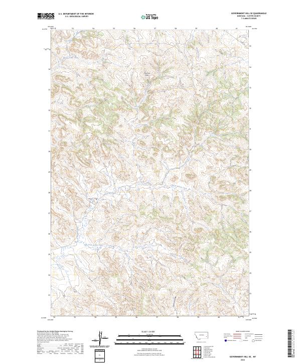
2024 Map of Government Hill SE
USGS Topo · Published 2024About this map
The Pine Hills dominate this portion of Custer County, shaping a complex landscape of drainage and high ground. The terrain is defined by a dense network of watercourses, including the notable Iron Teeth Woman Creek and North Woman Creek which carve through the southern sections. This modern survey reflects the enduring topography of the ranchlands east of the Tongue River, where water sources like Pessler Spring and Chimney Springs have long served as vital points in an arid environment. Transportation is limited to sparse routes such as Mispah Rd in the northeast corner, illustrating the open, undeveloped character of this eastern Montana landscape. The map provides a detailed view of the natural hydrology, tracing East Fork Mill Creek and Meadow Creek as they navigate the ridges and draws.
Find a feature on this map
15 named features on this map. Tap any name to fly to it.
Don’t see what you’re looking for? This feature index may not catch every label — zoom into the map to look around manually.
Map Details
Editions of this 2024 Government Hill SE Map
This is the sole edition of this map. No revisions or reprints were ever made.
Other maps of this area

1953 · Miles City
USGS Topo · 1:250,000

1957 · Miles City
USGS Topo · 1:250,000

1958 · Miles City
USGS Topo · 1:250,000

1969 · Horse Creek
USGS Topo · 1:24,000

1969 · Haines Springs
USGS Topo · 1:24,000

1969 · First Creek
USGS Topo · 1:24,000

1969 · Loaf of Bread Butte
USGS Topo · 1:24,000

1969 · Government Hill
USGS Topo · 1:24,000

1969 · The Knob
USGS Topo · 1:24,000

1969 · Buck Mountain
USGS Topo · 1:24,000