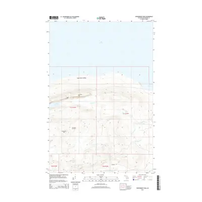
2014 Map of Government Peak
USGS Topo · Published 2014About this map
Government Peak stands as the central landmark of this high-elevation coastal terrain, dominating the southern portion of the Porcupine Mountains. This 2014 survey captures the dramatic drop from the ridges down to the shores of Lake Superior and Union Bay. Significant inland water features define the interior, including the elevated Lake of the Clouds and the secluded Union Spring.
Find a feature on this map
23 named features on this map. Tap any name to fly to it.
Don’t see what you’re looking for? This feature index may not catch every label — zoom into the map to look around manually.
Map Details
Editions of this 2014 Government Peak Map
This is the sole edition of this map. No revisions or reprints were ever made.
Other maps of this area

1949 · White Pine
USGS Topo · 1:24,000

1949 · Bergland NE
USGS Topo · 1:24,000

1956 · Carp River
USGS Topo · 1:62,500

1956 · Bergland NE
USGS Topo · 1:24,000

1956 · Bergland
USGS Topo · 1:62,500

1956 · Thomaston
USGS Topo · 1:62,500

1956 · White Pine
USGS Topo · 1:24,000

1956 · White Pine
USGS Topo · 1:62,500

1958 · Iron River
USGS Topo · 1:250,000

1960 · Iron River
USGS Topo · 1:250,000