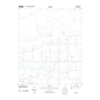
2009 Map of Gowen
USGS Topo · Published 2009About this map
Gowen Cemetery and the rural roads of Latimer County define this landscape as it appeared in the early 21st century. The terrain is characterized by the winding path of Gaines Creek and its many tributaries, including Boiling Springs Creek and Beaver Creek. The presence of the Boiling Springs Site 1 Dam indicates local water management efforts in this part of Oklahoma.
Find a feature on this map
44 named features on this map. Tap any name to fly to it.
Don’t see what you’re looking for? This feature index may not catch every label — zoom into the map to look around manually.
Map Details
Editions of this 2009 Gowen Map
This is the sole edition of this map. No revisions or reprints were ever made.
Other maps of this area

1898 · McAlester
USGS Topo · 1:125,000

1900 · Sansbois
USGS Topo · 1:125,000

1900 · Canadian
USGS Topo · 1:125,000

1901 · Tuskahoma
USGS Topo · 1:125,000

1908 · Tuskahoma
USGS Topo · 1:125,000

1909 · Mc Alester
USGS Topo · 1:125,000

1909 · Tuskahoma
USGS Topo · 1:125,000

1909 · Sans Bois
USGS Topo · 1:125,000

1911 · Sansbois
USGS Topo · 1:125,000

1946 · Fort Smith
USGS Topo · 1:250,000