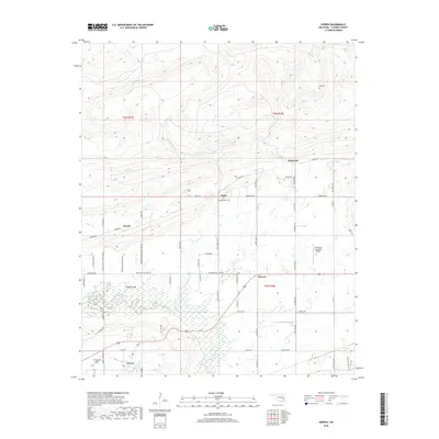
2018 Map of Gowen
USGS Topo · Published 2018About this map
Gowen and the surrounding Latimer County landscape are defined by the winding course of Gaines Creek and its many tributaries, including Boiling Springs Cr and Buffalo Cr. This area of eastern Oklahoma reflects a pattern of rural settlements connected by a grid of local roads, where small communities like Bowers, Drumb, and Chilli are interspersed with historical family and community landmarks. Genealogists will find particular value in the several documented burial sites, such as Gowen Cem, High Bridge Cem, and the remote Tea Cem. The northeastern edge of the Wilburton Municipal Airport serves as a modern anchor near the established crossroads of Patterson, illustrating the transition from traditional homesteads to regional infrastructure. The map preserves the specific locations of many local routes, from Gaines Creek Rd to Arkla Gas Rd, that have served this corner of the state for decades.
Find a feature on this map
67 named features on this map. Tap any name to fly to it.
Don’t see what you’re looking for? This feature index may not catch every label — zoom into the map to look around manually.
Map Details
Editions of this 2018 Gowen Map
This is the sole edition of this map. No revisions or reprints were ever made.
Other maps of this area
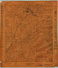
1898 · McAlester
USGS Topo · 1:125,000
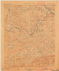
1900 · Sansbois
USGS Topo · 1:125,000
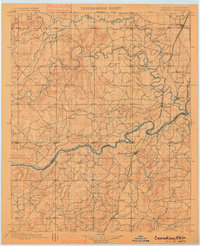
1900 · Canadian
USGS Topo · 1:125,000
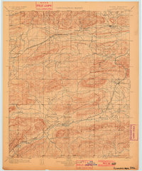
1901 · Tuskahoma
USGS Topo · 1:125,000
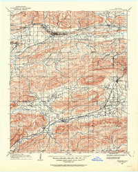
1908 · Tuskahoma
USGS Topo · 1:125,000
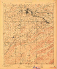
1909 · Mc Alester
USGS Topo · 1:125,000
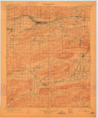
1909 · Tuskahoma
USGS Topo · 1:125,000
1909 · Sans Bois
USGS Topo · 1:125,000
1911 · Sansbois
USGS Topo · 1:125,000
1946 · Fort Smith
USGS Topo · 1:250,000