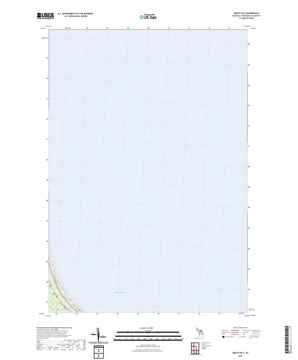
2023 Map of Grace OE E
USGS Topo · Published 2023About this map
Hammond Bay dominates this coastal survey, where the waters of Lake Huron meet the northeastern shoreline of Michigan. The terrain is primarily defined by the aquatic expanse, with the terrestrial portion limited to a narrow strip along the western edge. Here, Pine Tree Trl provides the primary access route through the wooded landscape, following the contour of the coast. This 2023 edition reflects the contemporary shoreline and public land boundaries, such as those designated in t36n r3e, showing the relatively undeveloped character of this stretch of Presque Isle County. The map is a precise record of current water boundaries and the sparse road network that services this quiet lakefront area.
Find a feature on this map
3 named features on this map. Tap any name to fly to it.
Don’t see what you’re looking for? This feature index may not catch every label — zoom into the map to look around manually.
Map Details
Editions of this 2023 Grace OE E Map
This is the sole edition of this map. No revisions or reprints were ever made.
Other maps of this area

1954 · Alpena
USGS Topo · 1:250,000

1955 · Cheboygan
USGS Topo · 1:250,000

1957 · Alpena
USGS Topo · 1:250,000

1957 · Onaway
USGS Topo · 1:62,500

1958 · Cheboygan
USGS Topo · 1:250,000

1958 · Alpena
USGS Topo · 1:250,000

1958 · Grace
USGS Topo · 1:62,500

1969 · Alpena
USGS Topo · 1:250,000
1971 · Moltke
USGS Topo · 1:24,000

1982 · Petoskey
USGS Topo · 1:100,000