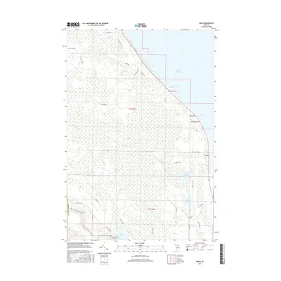
2017 Map of Grace
USGS Topo · Published 2017About this map
The Lake Huron shoreline in Presque Isle County defines this landscape, where the settlements of Grace and Huron Beach sit along the coastal margin. This area is characterized by an intricate network of inland water bodies and drainage systems, including the Black Mallard River, which flows toward the coast near Hammond Bay Harbor. Local history is anchored by sites such as the Black Lake State Forest Cem and Grace Cem, while the southwestern corner of the sheet transitions into the more elevated terrain of the Black Mountain Recreation Area. The land is crisscrossed by numerous local routes like Mulligan Creek Rd and Town Hall Hwy, reflecting a pattern of low-density settlement and recreational land use typical of northern Michigan. Researchers will find a mix of named coastal landmarks, such as Mast Point and Highway Point, alongside interior features like Lake Sixteen and Black Mallard Lake.
Find a feature on this map
42 named features on this map. Tap any name to fly to it.
Don’t see what you’re looking for? This feature index may not catch every label — zoom into the map to look around manually.
Map Details
Editions of this 2017 Grace Map
This is the sole edition of this map. No revisions or reprints were ever made.
Other maps of this area
1955 · Cheboygan
USGS Topo · 1:250,000
1957 · Tower
USGS Topo · 1:62,500
1957 · Cheboygan
USGS Topo · 1:62,500
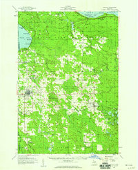
1957 · Onaway
USGS Topo · 1:62,500
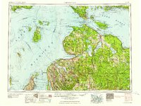
1958 · Cheboygan
USGS Topo · 1:250,000
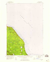
1958 · Grace
USGS Topo · 1:62,500
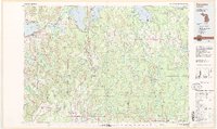
1982 · Petoskey
USGS Topo · 1:100,000
1982 · Cordwood Point
USGS Topo · 1:25,000
1982 · Grace
USGS Topo · 1:24,000
1982 · Nilemile Point
USGS Topo · 1:25,000